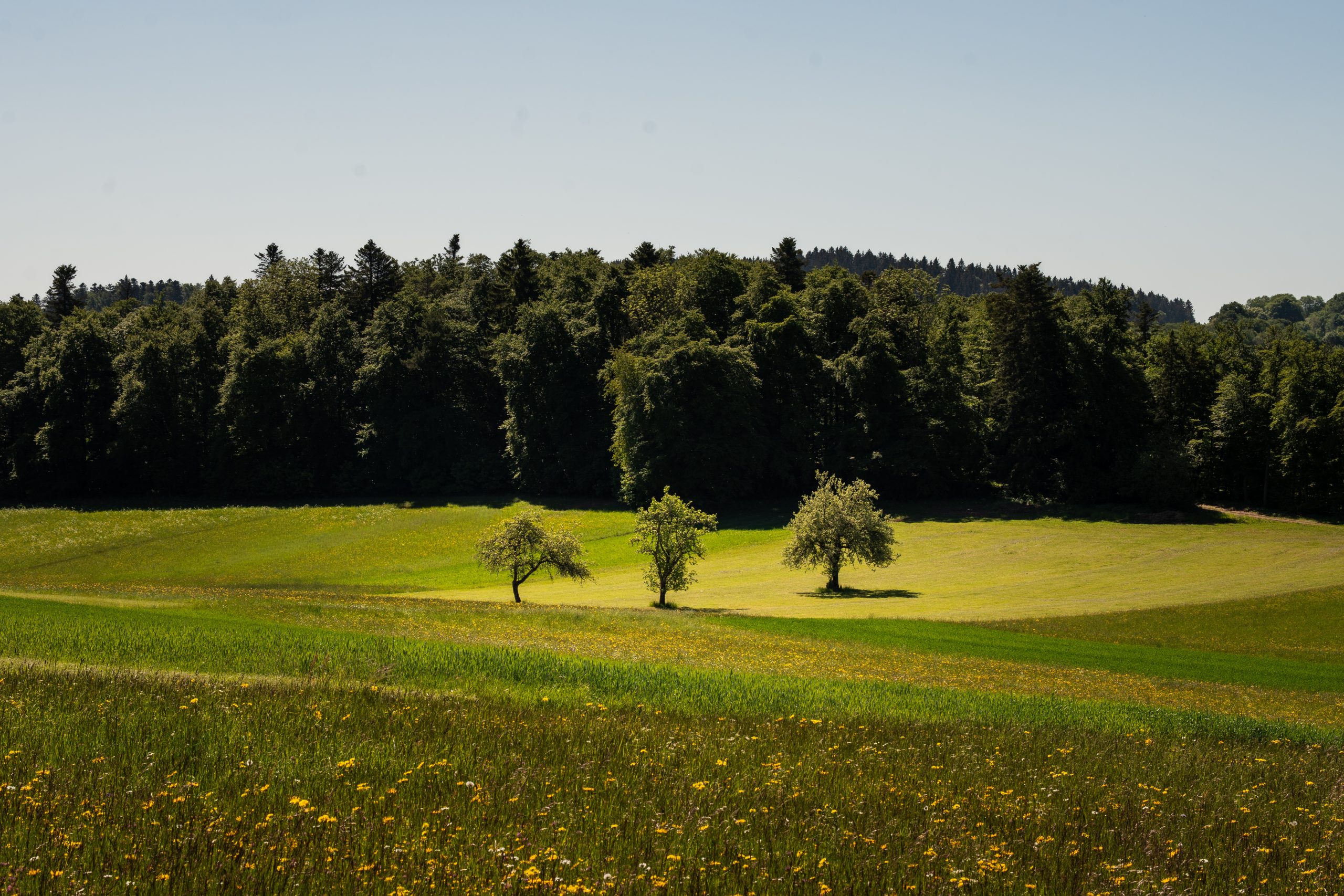
The first rays of sunlight were already filtering through the blinds when I opened the sliding door of our campervan. Outside, a field of wildflowers stretched towards the edge of a dense green forest, with little more than birdsong breaking the morning silence.
I had always dreamt of travelling in a campervan. This summer, that dream finally came true when I spent three days exploring the Swabian Alb on four wheels. We travelled through open meadows and deeply carved river valleys, past limestone cliffs crowned by castles and fortresses.
Our route took us through three very different parts of the region: the Zollernalb, the historic town of Sigmaringen and the Upper Danube Valley.
About the Swabian Alb
The Swabian Alb, sometimes also referred to as the Swabian Jura, is a mountain range in Baden-Württemberg, Germany. Bordered by the Danube and Neckar rivers and the Black Forest, it stretches around 220 km from southwest to northeast and measures between 40 and 70 km in width. Around 150 million years ago, the Swabian Alb was covered by a warm tropical sea, whose deposits eventually formed the limestone that shapes the region today. Over millions of years, wind, water and erosion created its characteristic cliffs, valleys and rolling plateaus. Beneath the surface, the limestone hides thousands of caves, underground waterways and fascinating rock formations.
The Swabian Alb has been recognised as a UNESCO Global Geopark since 2015, covering around 6,200 square kilometres and almost the entire mountain range. At its heart lies the 852.69 km² Swabian Alb Biosphere Reserve. Together, its caves, fossils, volcanic remnants and unusual rock formations make the region fascinating to explore both above and below ground, and countless hiking and cycling trails wind through this varied landscape.
Our Route
Day 1: Zollernalb
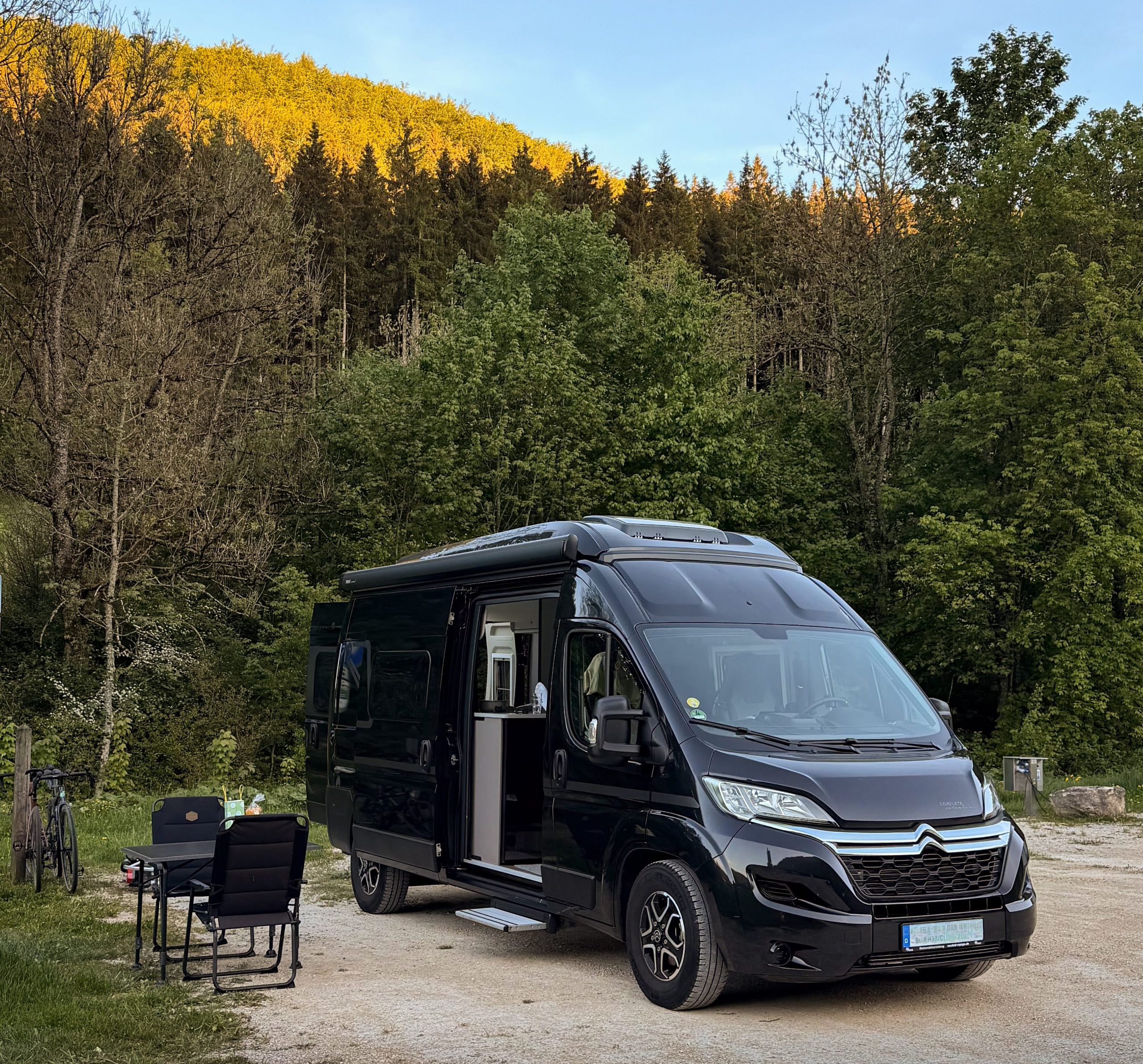
The sun was already shining when we opened the sliding doors of our campervan. In front of us, a flower field opening up and leading into a dense, lush, dark green forest. We had arrived in Oberdigisheim the evening before, ready to start our first full day in the Zollernalb the next morning.
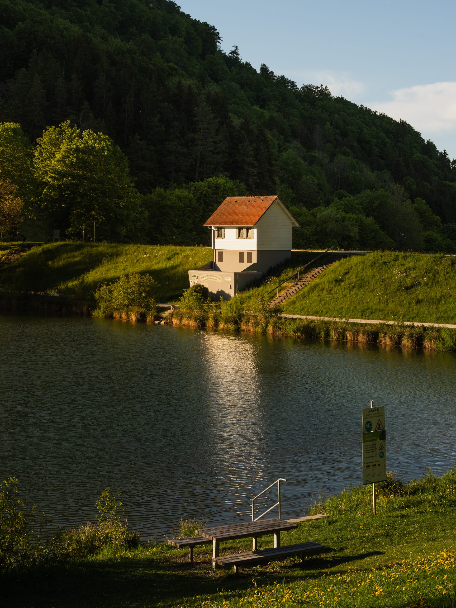
The campsite itself is small and pleasantly simple, with just eleven spacious pitches for motorhomes. Its setting is what makes it special: tucked between the reservoir and the surrounding forest, it feels much more like a quiet stop in nature than a conventional campsite. From the pitches, it is only a few steps to the water, where a large sunbathing lawn offers plenty of space to relax on warmer days. With hiking trails starting almost directly from the campsite and the reservoir right on the doorstep, it makes an especially convenient base for exploring this part of the Zollernalb without having to move the van again.
| Wohnmobilstellplatz Stausee Oberdigisheim | |
|---|---|
| Location | K7172 direction Obernheim, 72469 Meßstetten, Oberdigisheim, Germany |
| Price | 5€/night, paid via the Parkster app |
| Facilities | Discharge for chemical toilet, power connection, sewer connection, water connection |
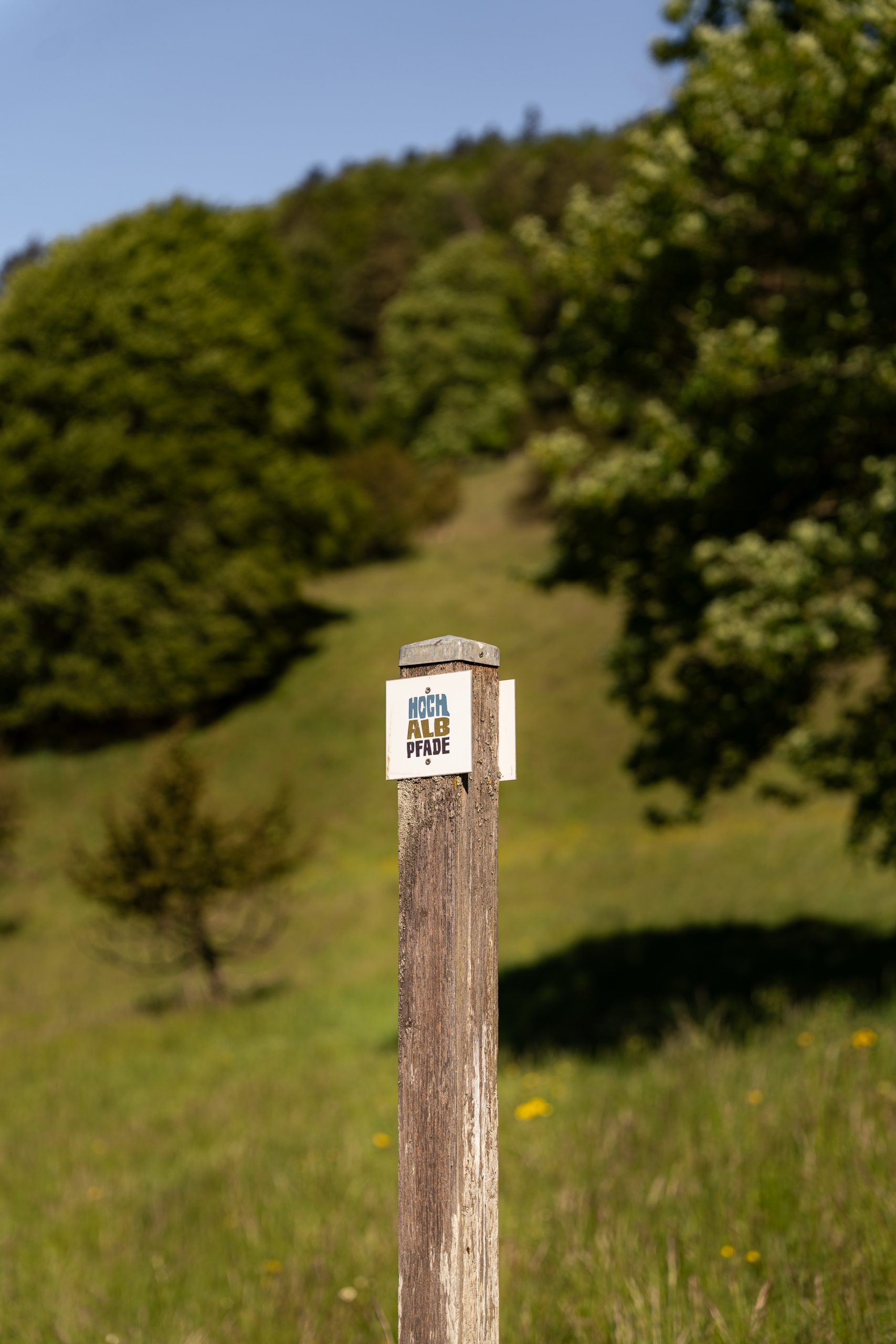
After a slow breakfast outside the van and a hot cup of coffee in the morning sun, we packed our daypacks and set off on foot. Within minutes, the campsite disappeared behind us and the Felsquellweg trail led into the meadows and forests of the Zollernalb.
| Hike: Felsquellweg Oberdigisheim | |
|---|---|
| Duration | ± 3h |
| Distance | 9.67 km |
| Elevation Gain | 300 m |
| Starting & End Point | Stauseeparkplatz Meßstetten, Germany |
| Coordinates | N 48° 10′ 14.0124 E 8° 52′ 31.7316 |
| Route Type | Circular |
| Difficulty | Easy |
On a little over 9 kilometres, the trail leads through the juniper heath and along the edge of the Swabian Alb. Walking through woodland-fringed hillside meadows, life felt slow and peaceful, only the sound of the birds and the crunch of gravel beneath our shoes. Every now and then, the trees opened up to views across the valley and the scattered villages around Meßstetten. After around three hours, the trail led us back to where we had started – the reservoir. With the lake right beside us, we finished the hike with a swim and a few quiet minutes stretched out on the grass.
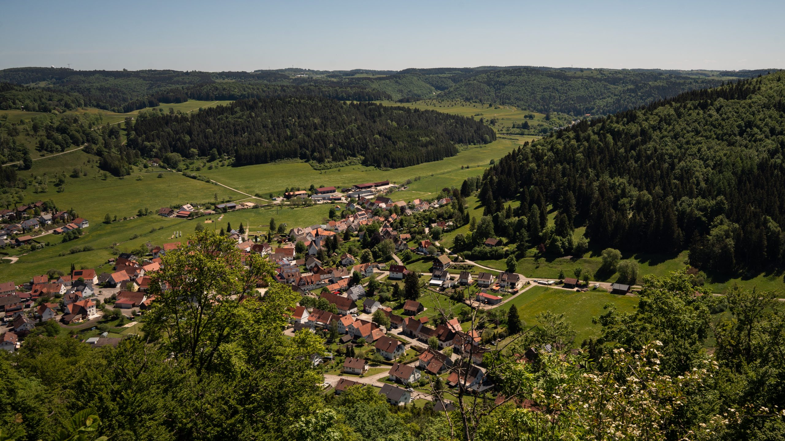
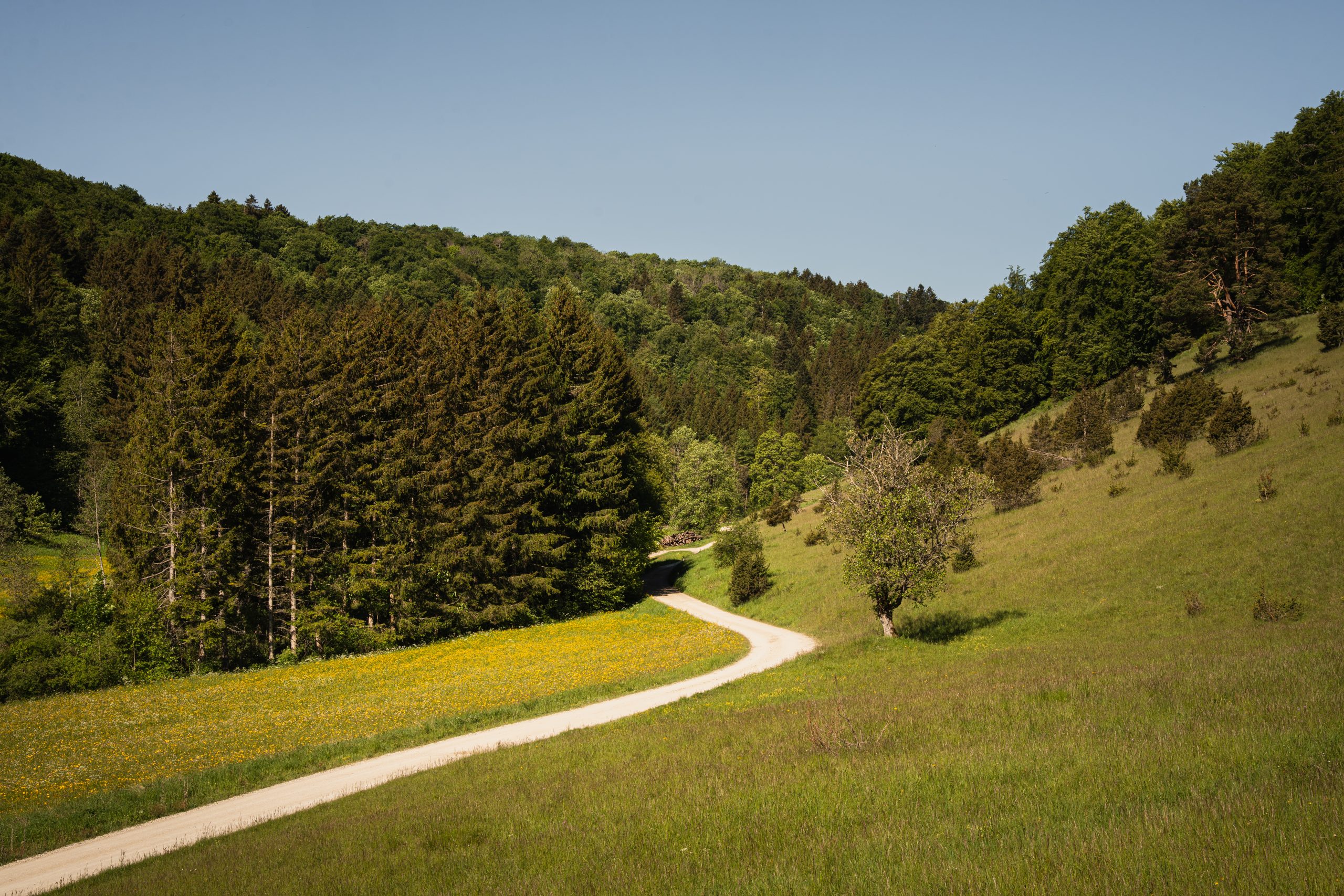
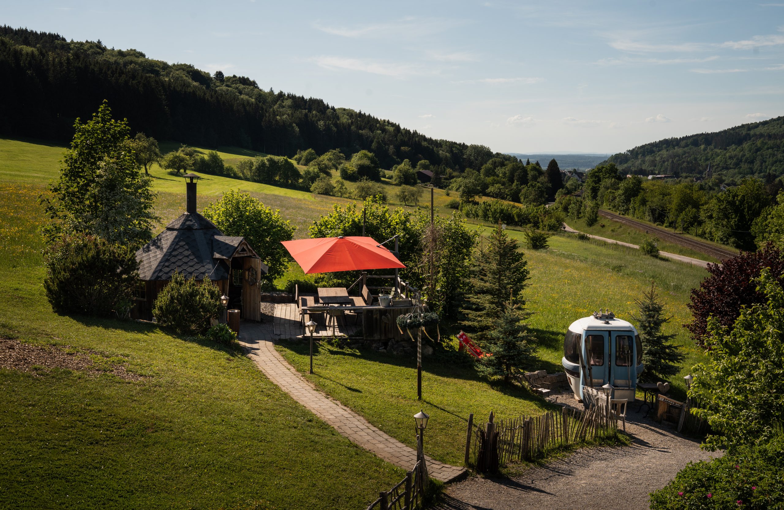
Having built (or better – walked) up an appetite, we decided to head to the Traufganghütte Brunnental in Albstadt-Laufen for lunch. From the beer garden, the view stretches across the Albtrauf and surrounding hills, while the menu focuses on traditional Swabian cuisine.
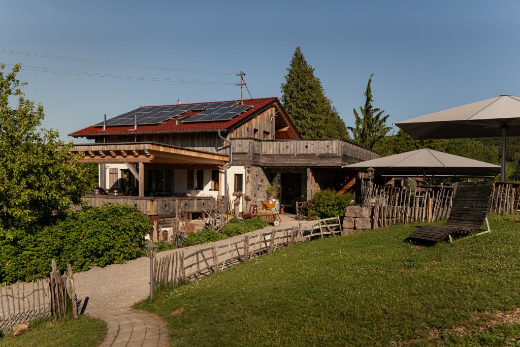
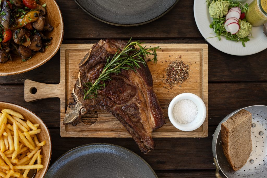
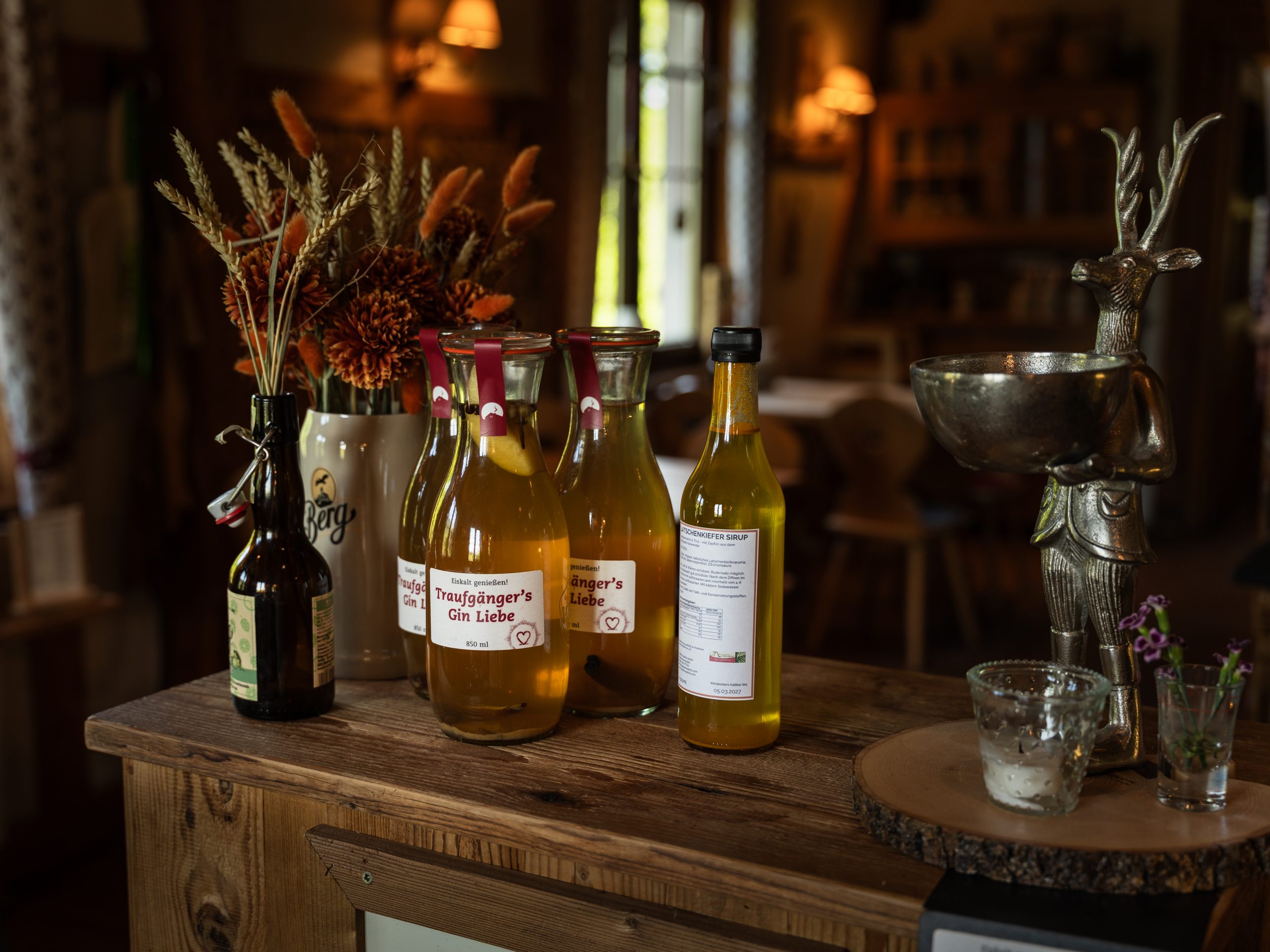
Owner Tobias Hailfinger places particular emphasis on fresh, high-quality ingredients sourced from regional partners, connecting the restaurant closely with the surrounding agriculture and landscape. On Tobias’ recommendation, we ordered the T-bone steak alongside one of the seasonal summer aperitifs.
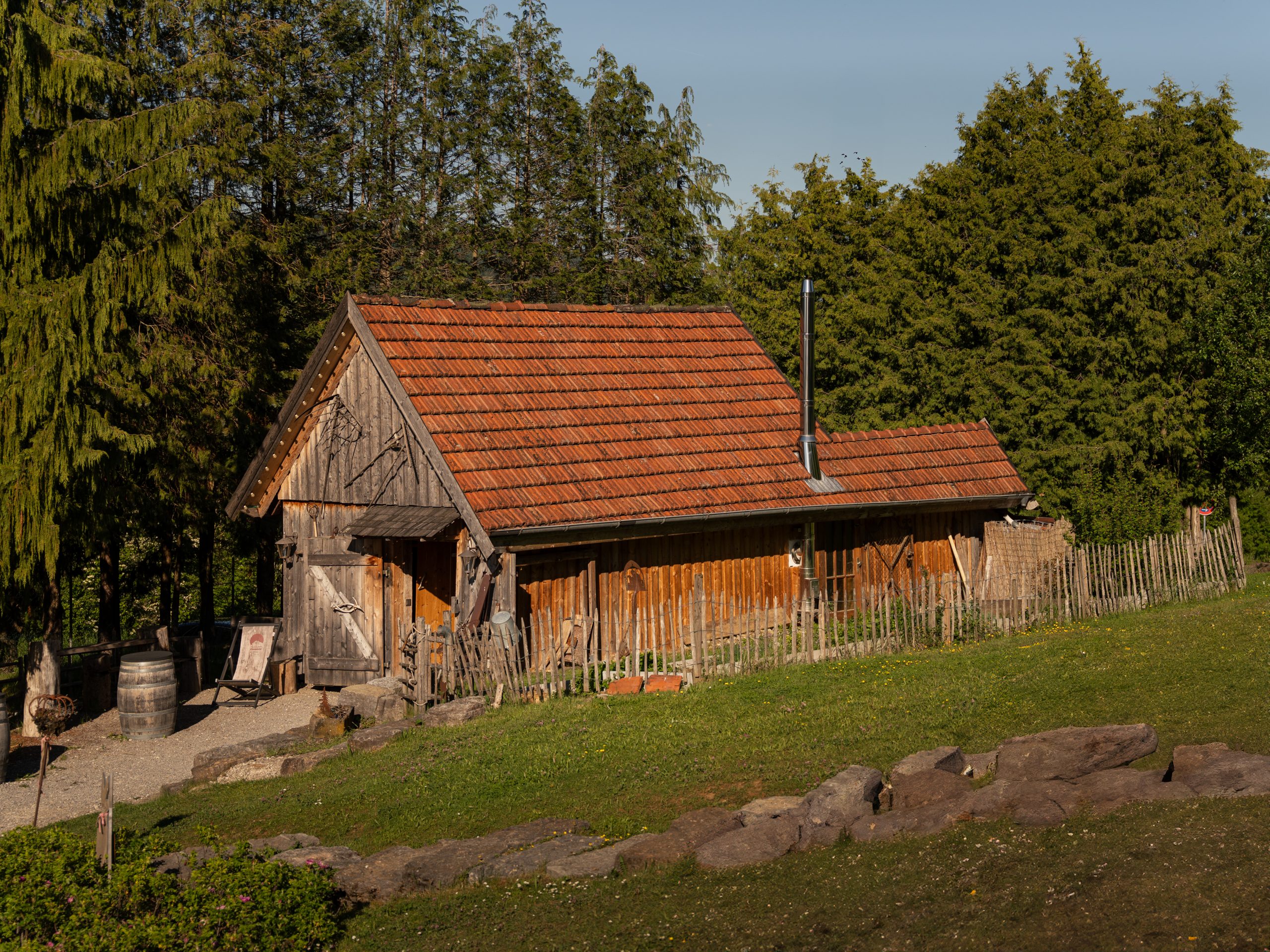
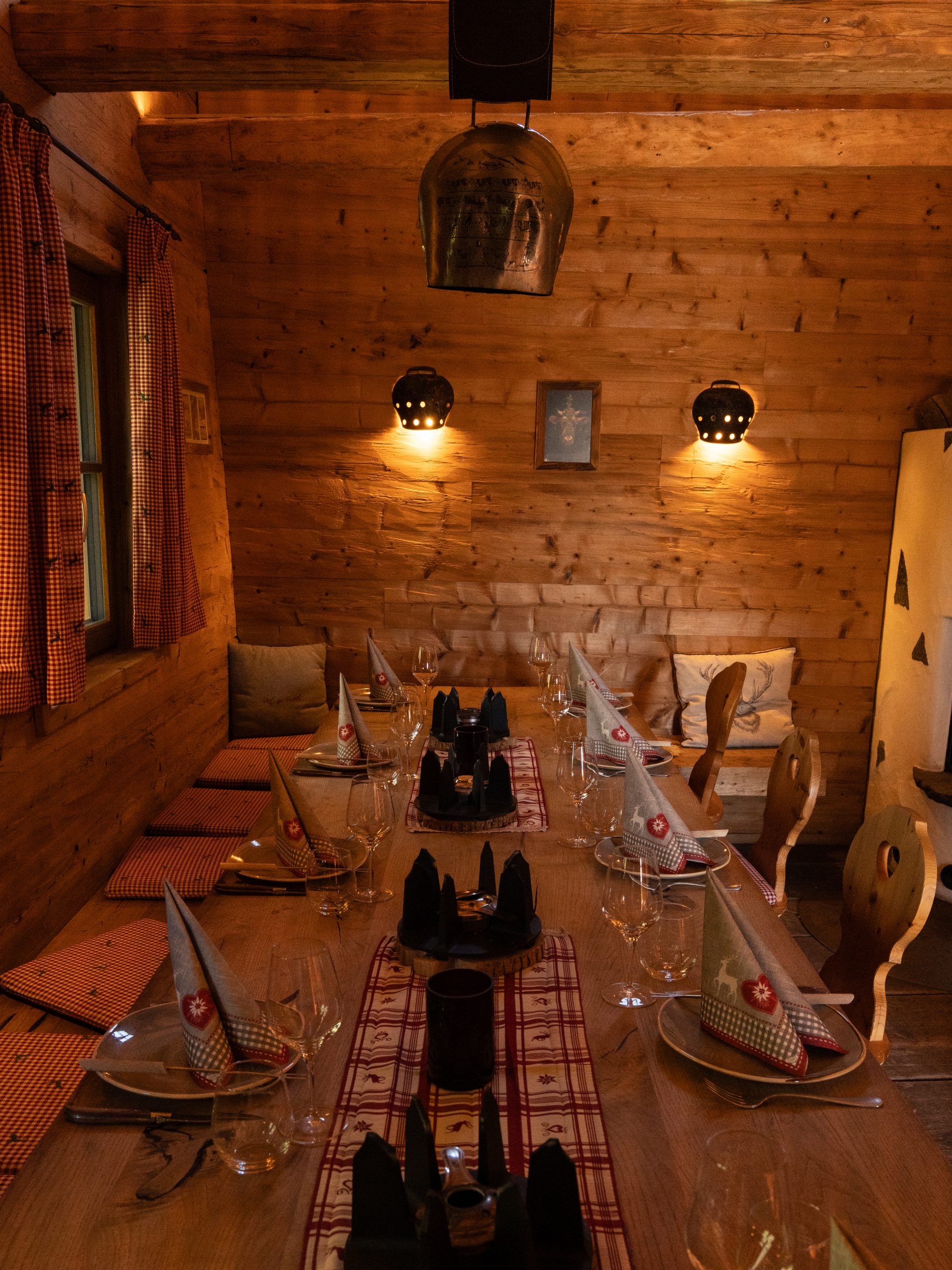
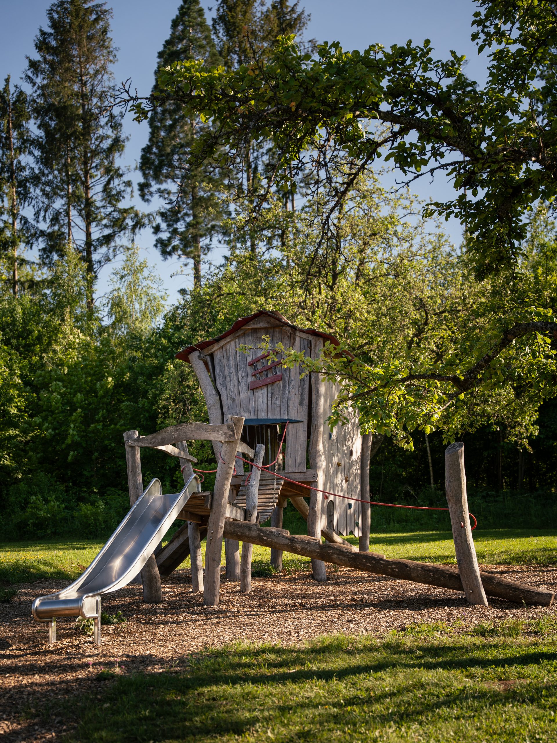
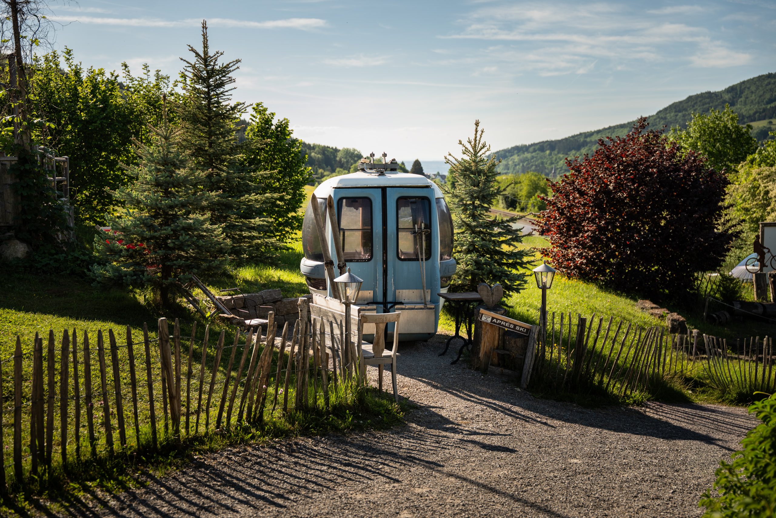
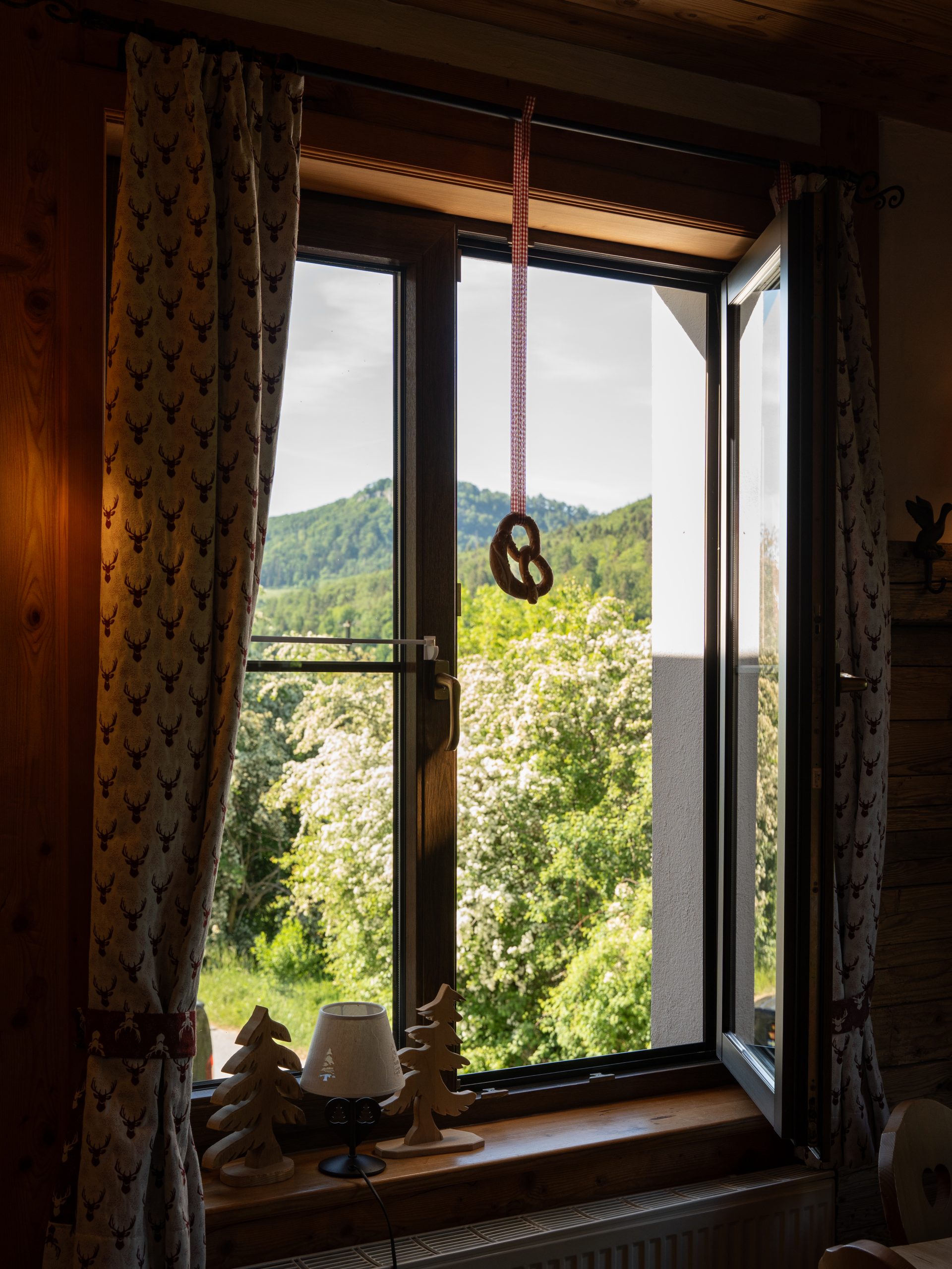
Apart from the restaurant and beer garden, the Traufganghütte offers various spaces for groups and private events. Guests can enjoy a traditional Swiss fondue in a fondue barn, sit around a fire and barbecue in a little wooden hut, or enjoy local specialties in a repurposed ski gondola. The playful details continue throughout the restaurant: cowbells have been turned into lamps and pretzel-shaped ornaments hang in the windows. And while the adults enjoy their meal, the little ones can let out their energy on the playground.

After our meal, we climbed back into the van and continued south towards Sigmaringen, where the Danube and one of the region’s most impressive castles would shape the next part of our journey.
Day 2: Sigmaringen
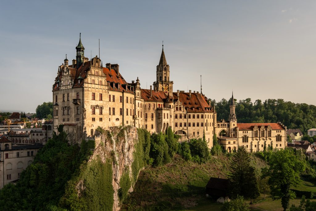
Sigmaringen sits on the southern edge of the Swabian Alb, with the Danube flowing straight through its historic centre. Above it all rises Hohenzollernschloss Sigmaringen, perched dramatically on a limestone cliff and visible from almost everywhere along the river. The town itself developed around the castle and was formally founded around 1250.
We parked our van at the out &back Campsite, which is located right by the Danube, just a short walk from the city centre.
| out&back Camping Sigmaringen | |
|---|---|
| Location | Georg-Zimmerer-Straße 6, 72488 Sigmaringen, Germany |
| Price | 12-20€/night, depending on size and amenities |
| Facilities | Discharge for chemical toilet, power connection, sewer connection, water connection, bathrooms |
| Website | www.outandback.de |
Early in the morning, we headed to Sigmaringen Castle. On guided tours or with an audioguide, visitors can learn about the history of the castle and the whole region.
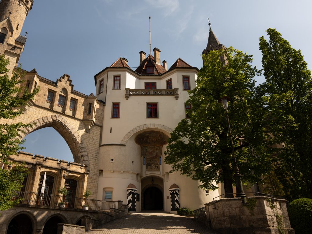
A castle was first documented here in 1077, with parts of the oldest surviving structure dating back to around 1200. Over the centuries, the medieval fortress was transformed into the princely residence of the Hohenzollern-Sigmaringen family. After a devastating fire in 1893, large parts were rebuilt in the Historicist style, giving the castle much of its romantic appearance today. It still belongs to the Princely House of Hohenzollern and remains partly used as a residence.
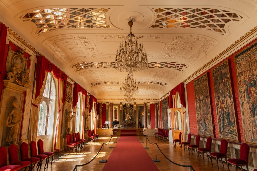
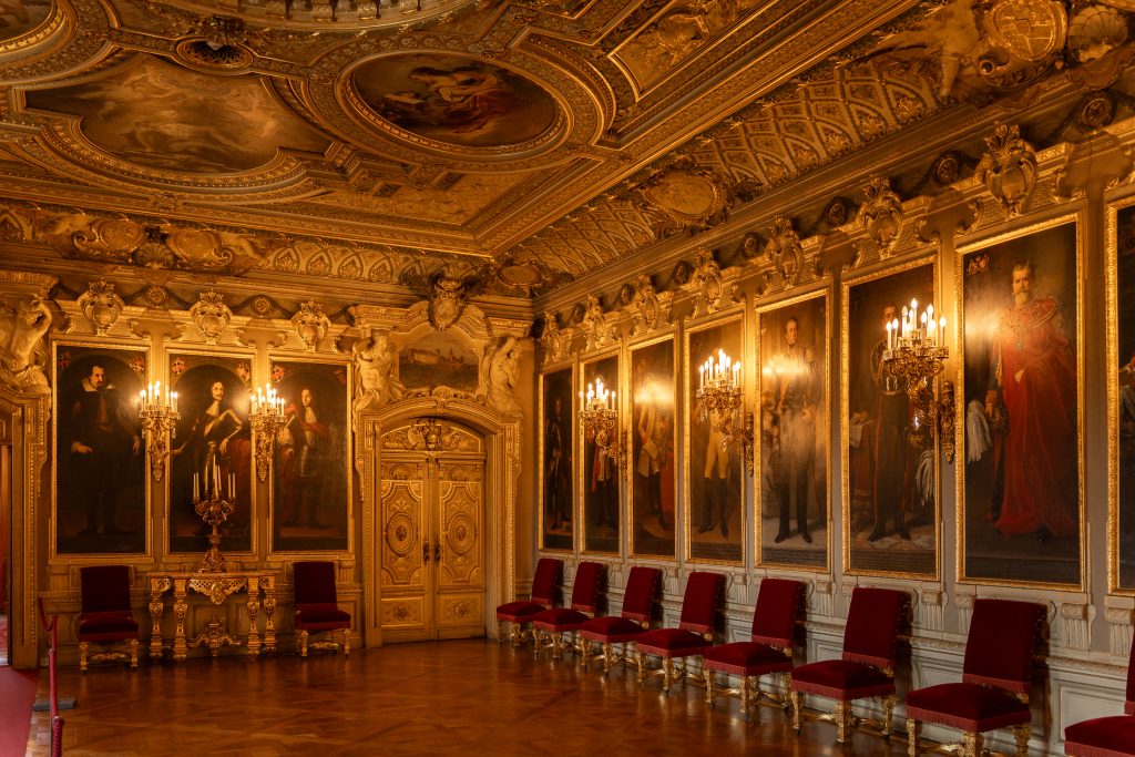
Walking through the state rooms, I was struck by how lived-in the castle still feels. Portraits, tapestries, porcelain and centuries-old furniture fill the rooms, while through the windows the Danube flows far below.

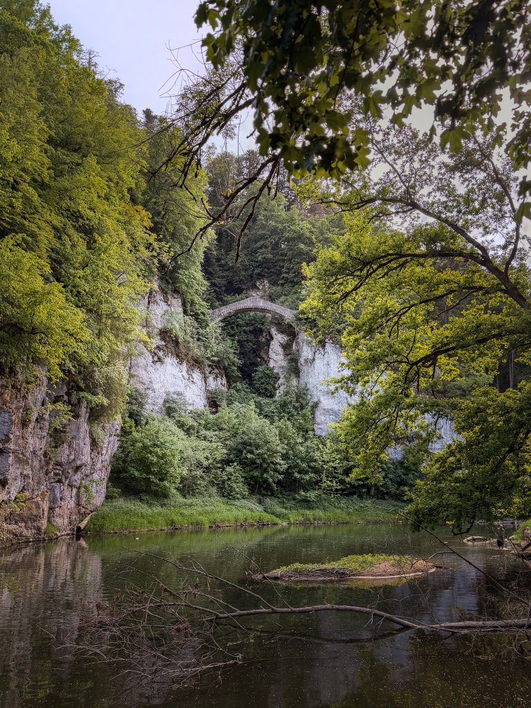
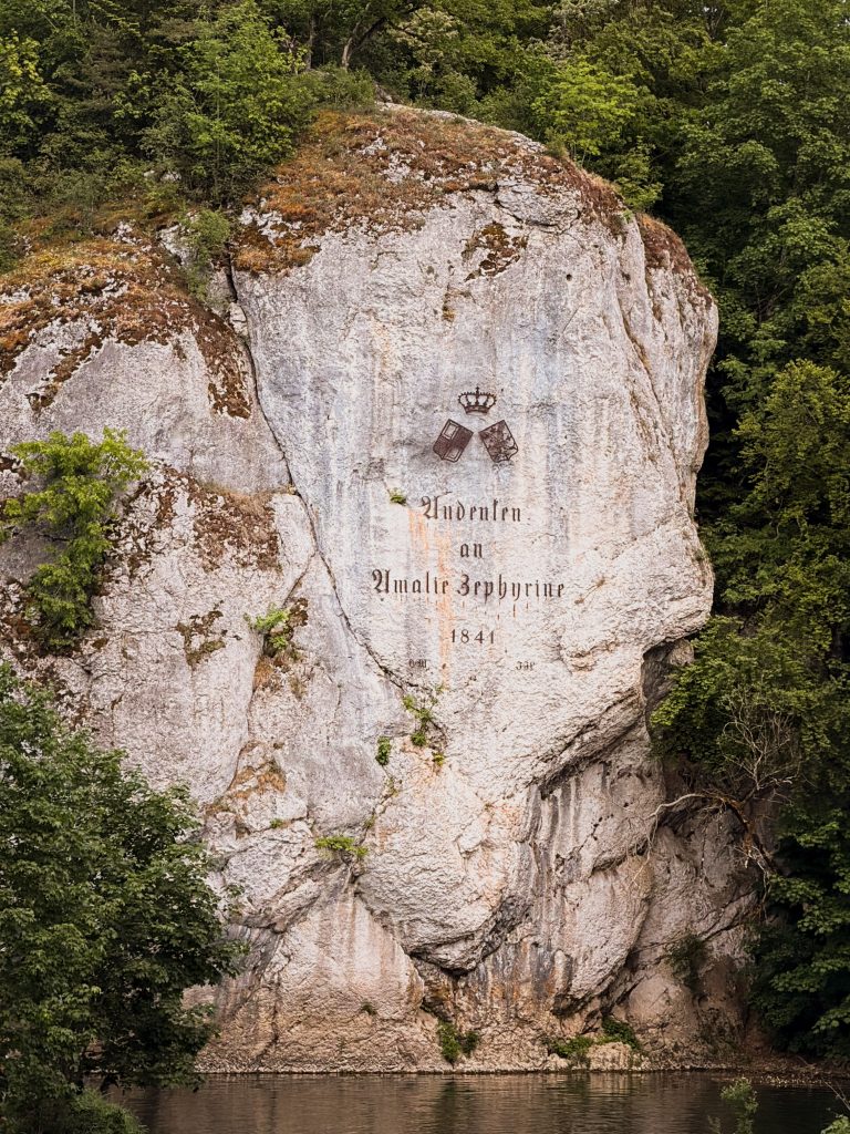
After visiting the castle, we headed back into nature. The Fürstlicher Park Inzigkofen, just a few kilometres west of Sigmaringen, is a historic Romantic landscape park stretching along both sides of the Danube. It was created between 1811 and 1829 for Princess Amalie Zephyrine of Hohenzollern-Sigmaringen, who made Inzigkofen one of her favourite retreats. After settling in a former monastery building converted into a country residence, she had the surrounding landscape transformed into a park of winding paths, viewpoints, forests and rocky passages.
What makes the roughly 25-hectare park unusual is how little it resembles a manicured palace garden. Instead, the park draws its character from the landscape itself: the young Danube winds between steep Jurassic limestone cliffs, while paths disappear into forests, rocky passages and grottos. The design deliberately used these dramatic natural features to create the kind of picturesque, seemingly wild scenery that was fashionable during the Romantic period.
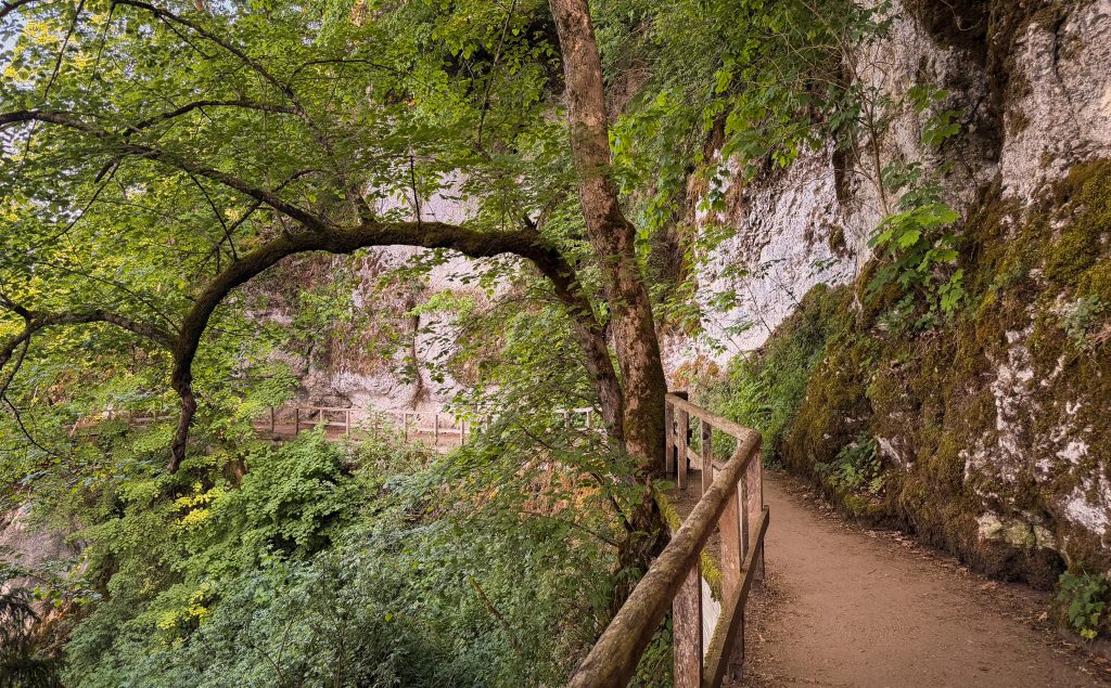
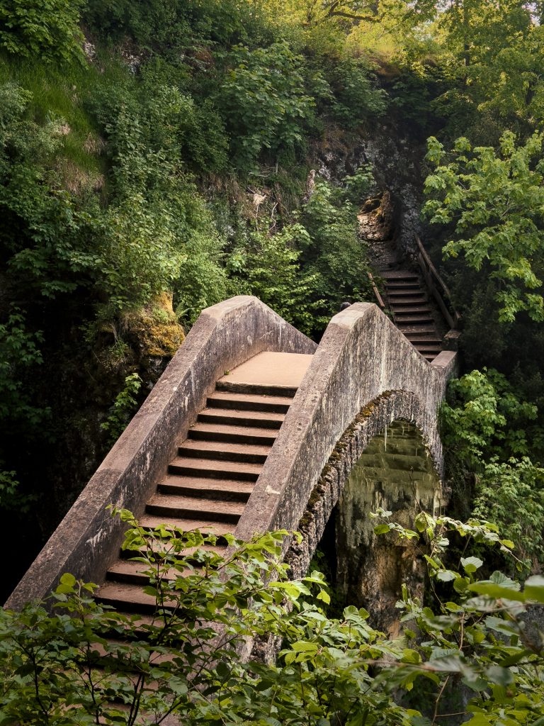
Highlights include the Teufelsbrücke (Devil’s bridge) which crosses a narrow gorge known as the Höll (Hell). The Amalienfelsen is a large limestone rock rising directly beside the Danube. A local legend claims that Princess Amalie Zephyrine once threw herself from the rock into the Danube on horseback – a story known to be untrue, but still associated with the site today. Exploring the winding paths and grottos of the park feels less like walking through a landscaped garden and more like discovering a small piece of wilderness hidden along the Danube.
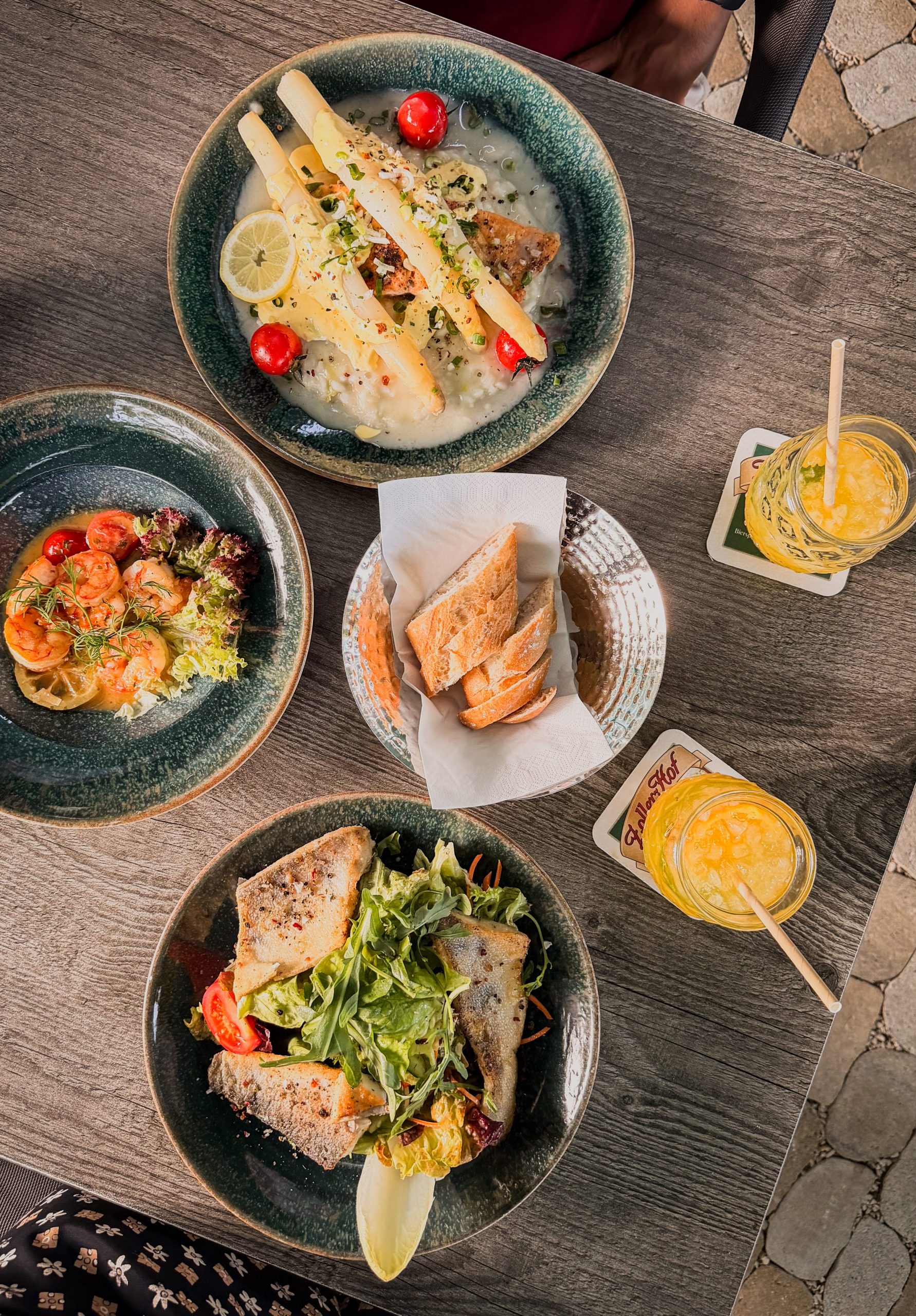
We ended the day at Bootshaus Sigmaringen, right on the banks of the Danube. From the terrace, we could look back across the river towards the castle while the kitchen served seasonal dishes with a modern take on regional ingredients. The asparagus risotto was a particular highlight – creamy, fresh and perfectly suited to the summer evening.

Day 3: Donaubergland
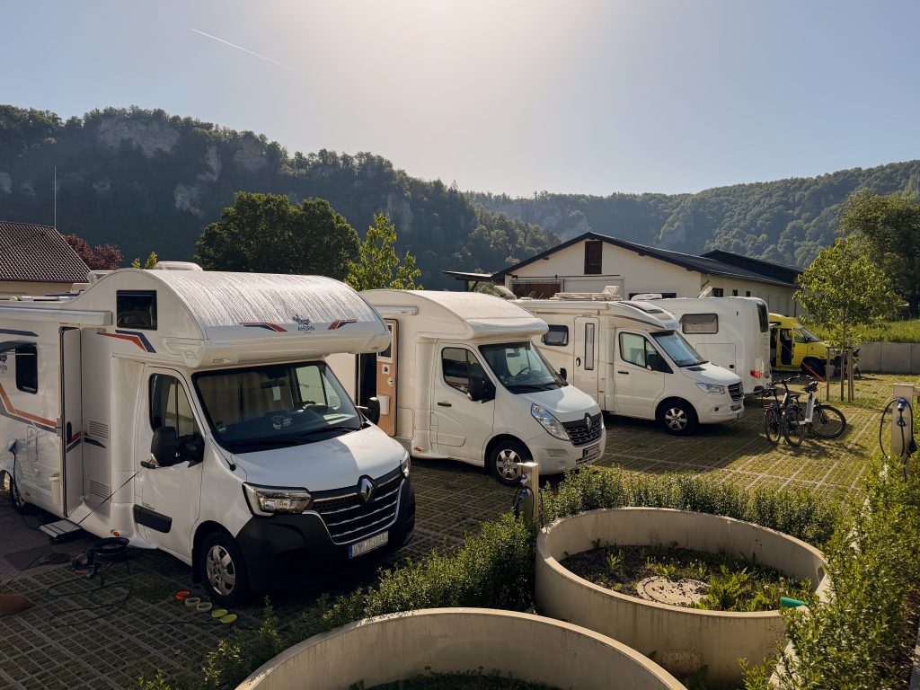
We spent our third night at Camping Buck in Beuron and woke the next morning surrounded by the limestone cliffs of the Donaubergland. The region lies in the southwest of the Swabian Alb, where high plateaus and forested hills give way to the deeply carved valley of the young Danube.
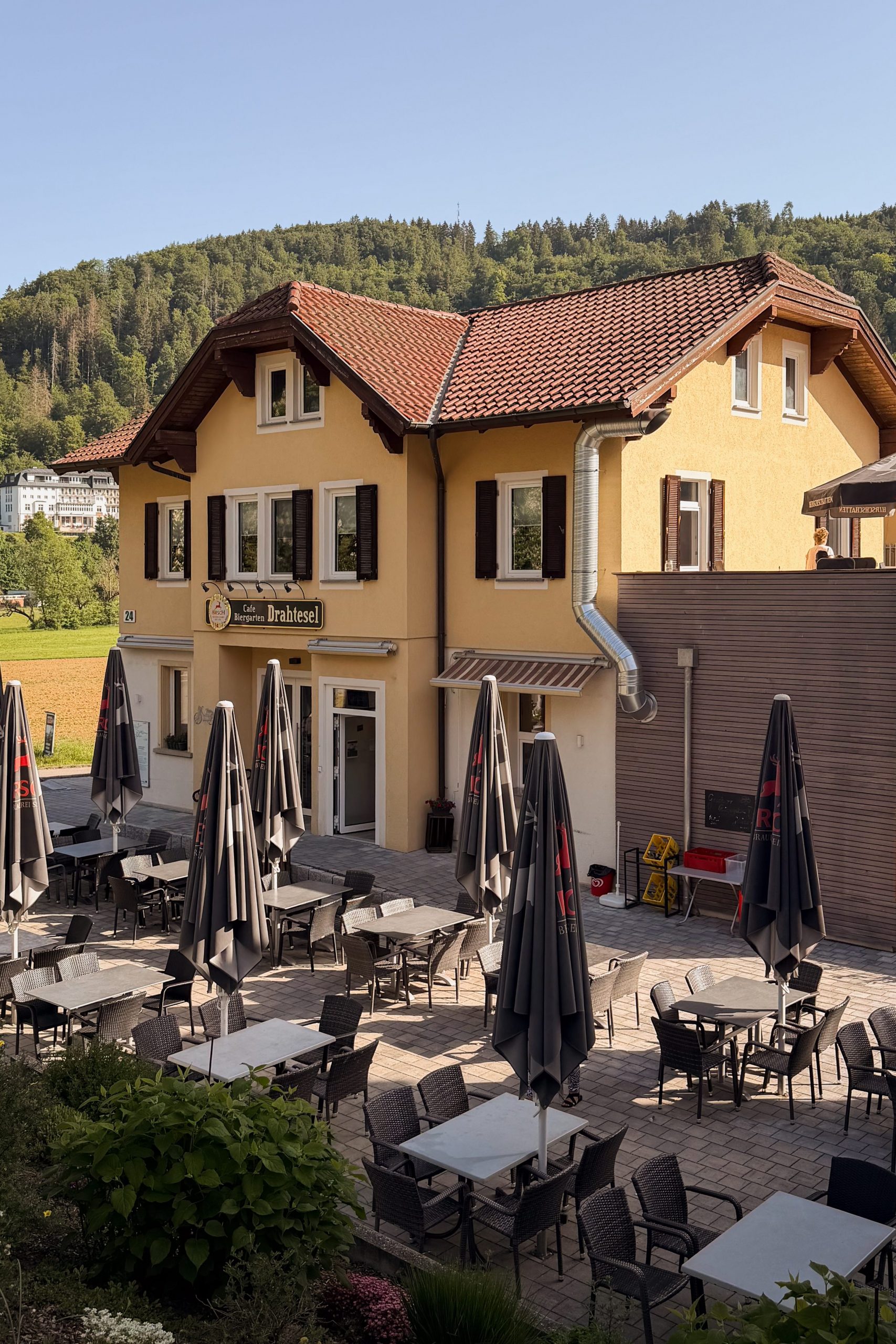
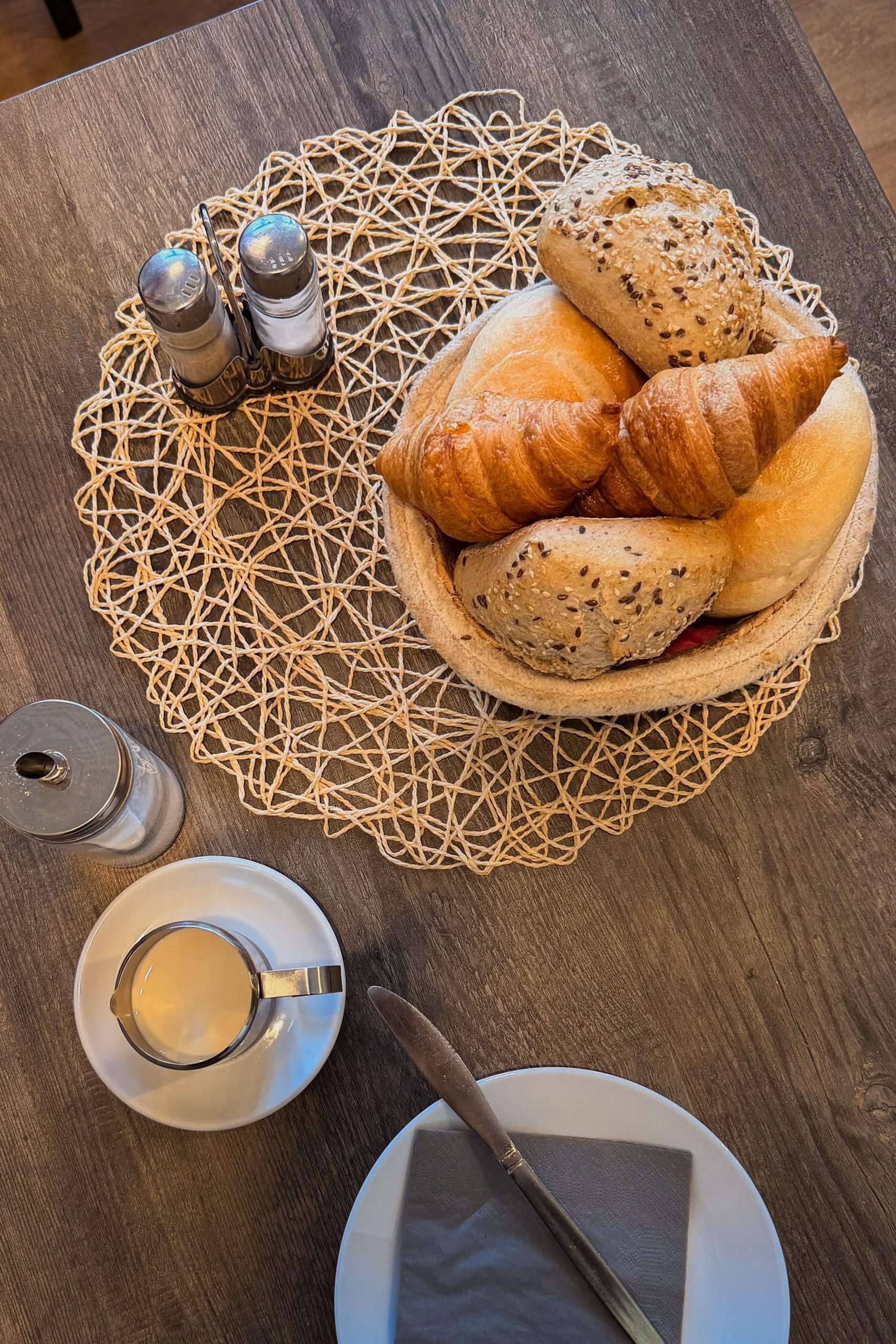
Camping Buck sits directly beside Beuron Abbey, making it an ideal base for exploring the Upper Danube Valley. Their small café Drahtesel also serves breakfast, so we started the morning with coffee, fresh bread rolls, yoghurt, fruit and muesli before heading to the river.
| Camping Buck | |
|---|---|
| Location | Abteistraße 24, 88631 Beuron, Germany |
| Price | 20€/night |
| Facilities | Discharge for chemical toilet, power connection, sewer connection, water connection, bathrooms (4 private bathrooms available for long-term guests), free WIFI |
| Website | www.camping-buck.de |
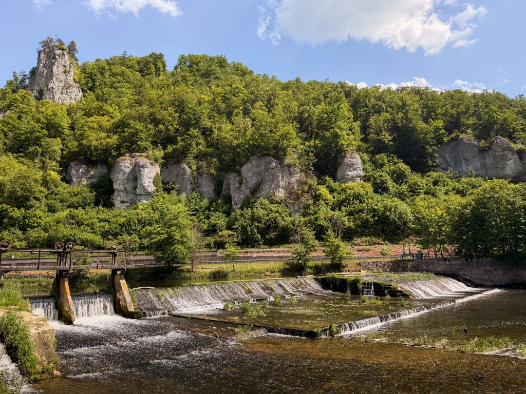
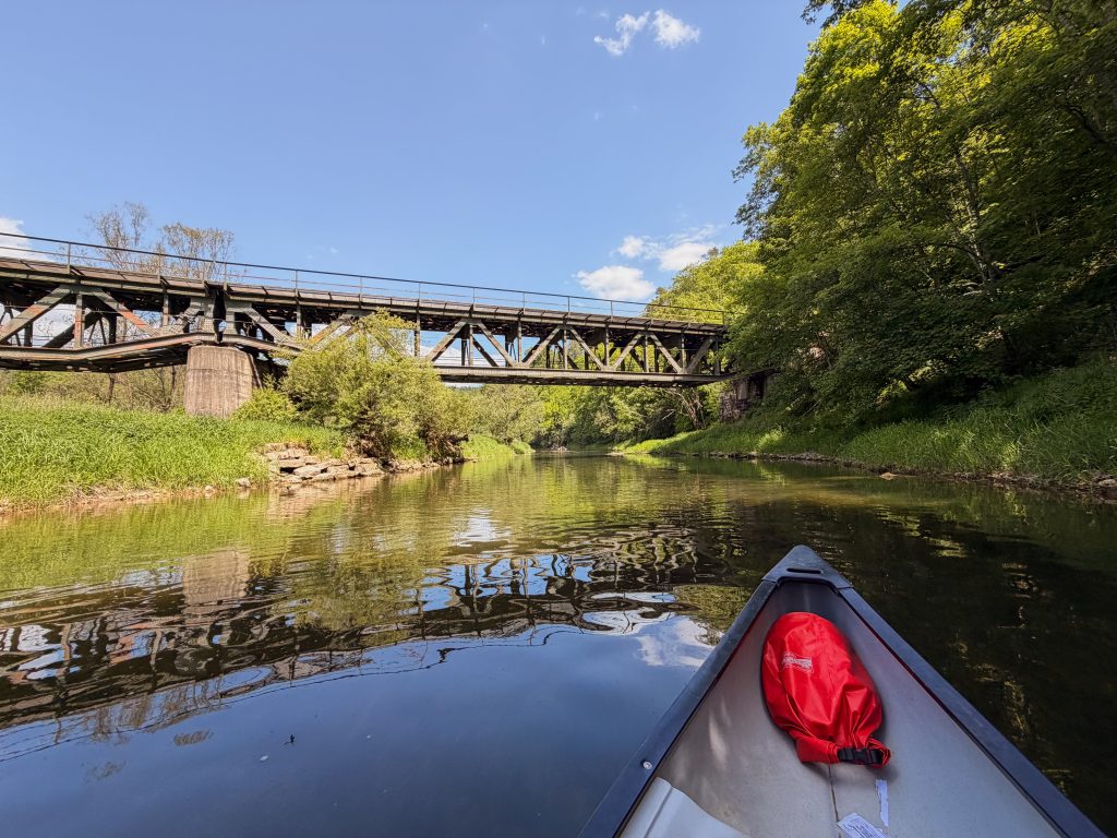
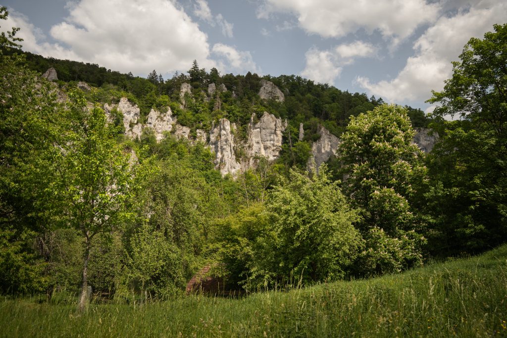
Full of energy after breakfast, we drove to Hausen im Tal and swapped the van for a canoe. From there, we paddled around 7 kilometres downstream to Thiergarten, following the gently winding Danube through some of the most dramatic scenery of the Donaubergland. Here, the river has carved its way deep into the limestone of the Swabian Alb, with white Jurassic cliffs rising more than 200 metres above the valley in places.
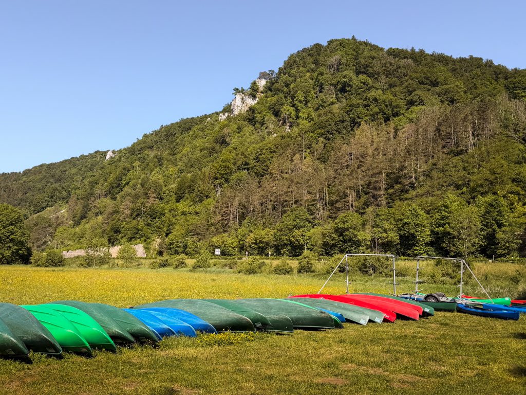
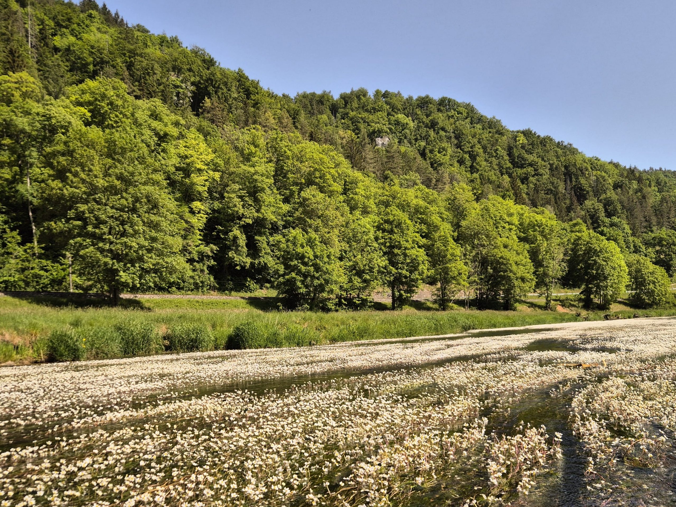
Along the way, we passed beneath the imposing Hausener Zinnen and the striking rock formations around the Schaufelsen, while castle ruins appeared high above the river through the trees. With calm stretches of water, forested banks and towering cliffs on either side, canoeing offers an entirely different perspective on the so-called “Swabian Grand Canyon.” The route to Thiergarten takes roughly two to three hours and includes one short portage around the weir at Neumühle.
| Canoeing with Donautal Touristik | |
|---|---|
| Start Point | Hausen im Tal |
| End Point | Depending on route: Thiergarten, Gutenstein, Dietfurth or Sigmaringen |
| Duration | 3-9h |
| Distance | 7-21 km |
| Price | Children under 15 years: 22€ Adults: 32€ (Sunday-Friday), 35€ (Saturday) |
| Season | Canoeing on the Upper Danube is highly dependent on the water level and is therefore not possible year-round. Check the website or call before booking to ensure the trip is possible. |
| Website | www.donautal-touristik.de |
After several hours on the water, sitting down for a relaxed lunch felt particularly welcome. We stopped at Gutshof Käppeler, a traditional restaurant surrounded by the landscape of the Upper Danube Valley. The estate itself has a long history: it stands on the site of the former village of Weiler, first mentioned in documents in 1275 and abandoned before the Thirty Years’ War.
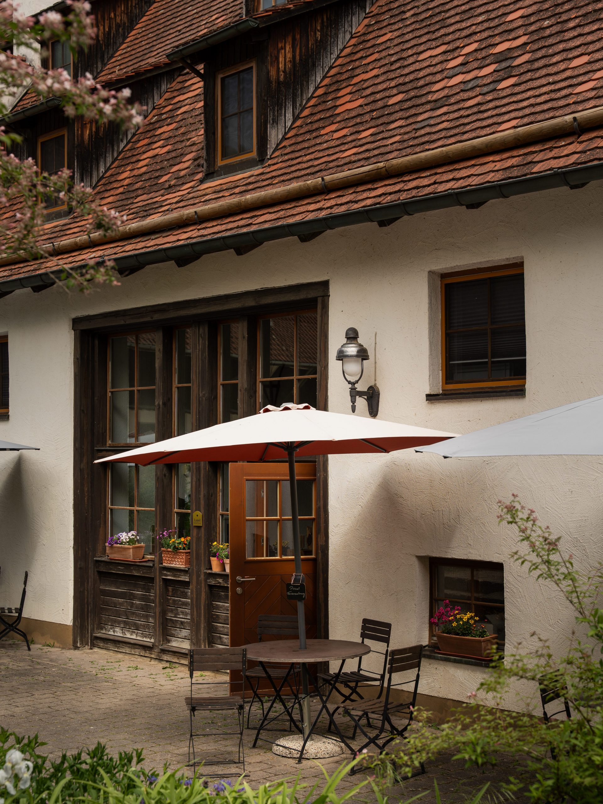
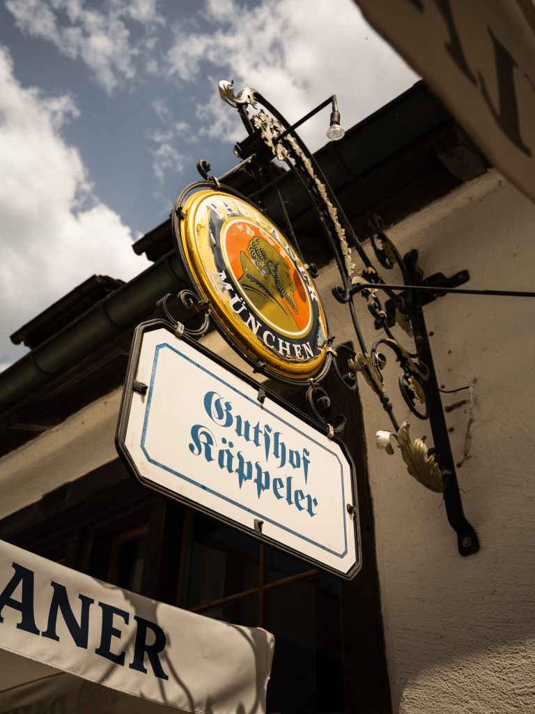
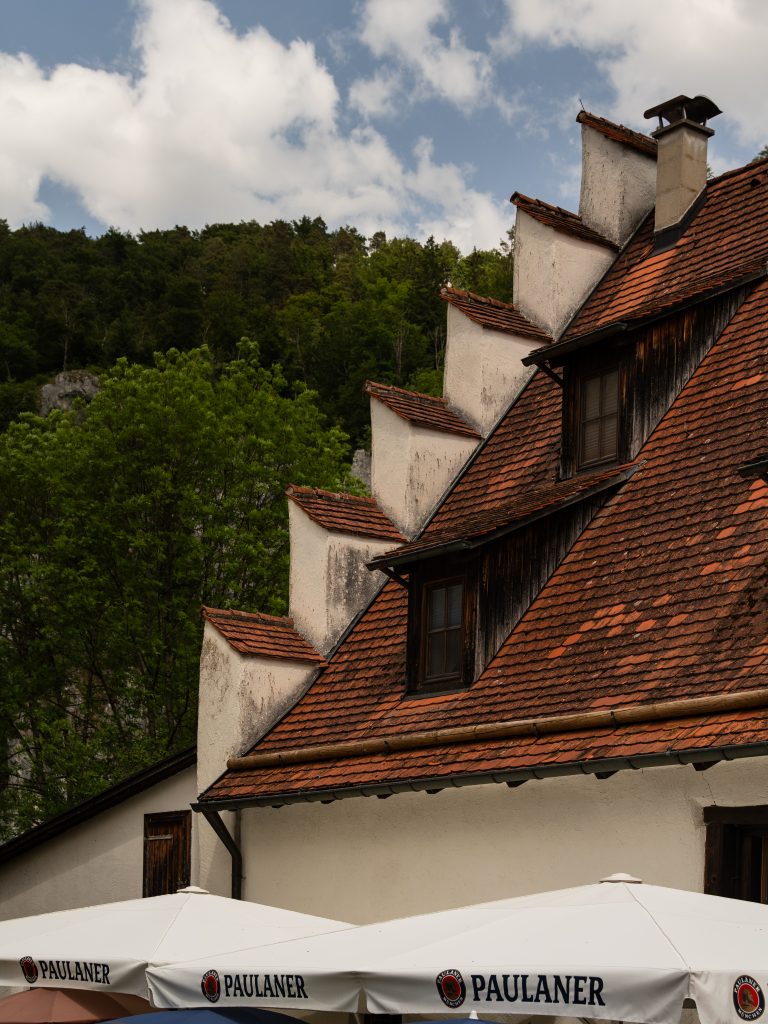
Since 1990, the family-run restaurant has focused on honest, regional cuisine. We ordered trout and Zwiebelrostbraten, a traditional Swabian beef dish topped with fried onions.
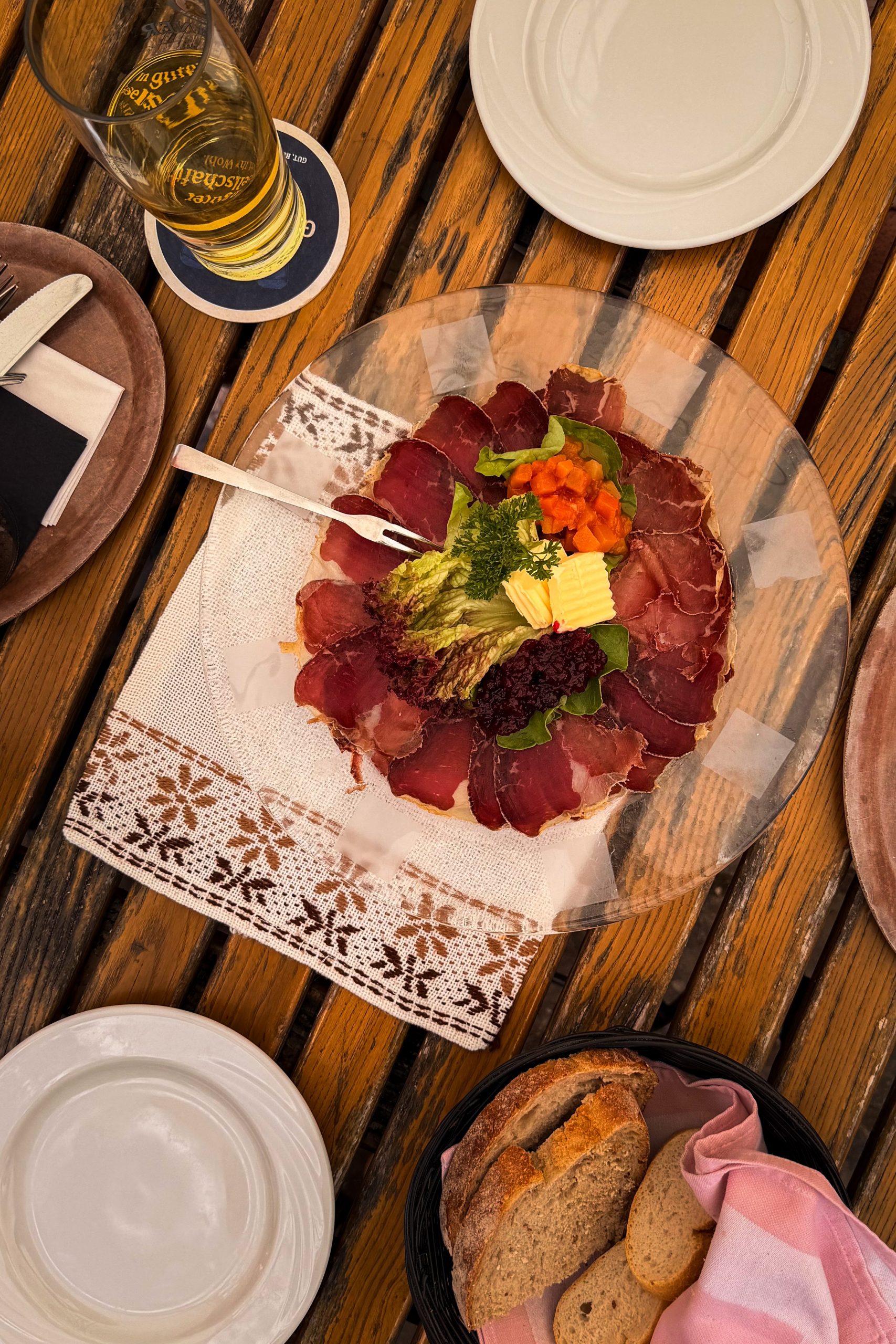
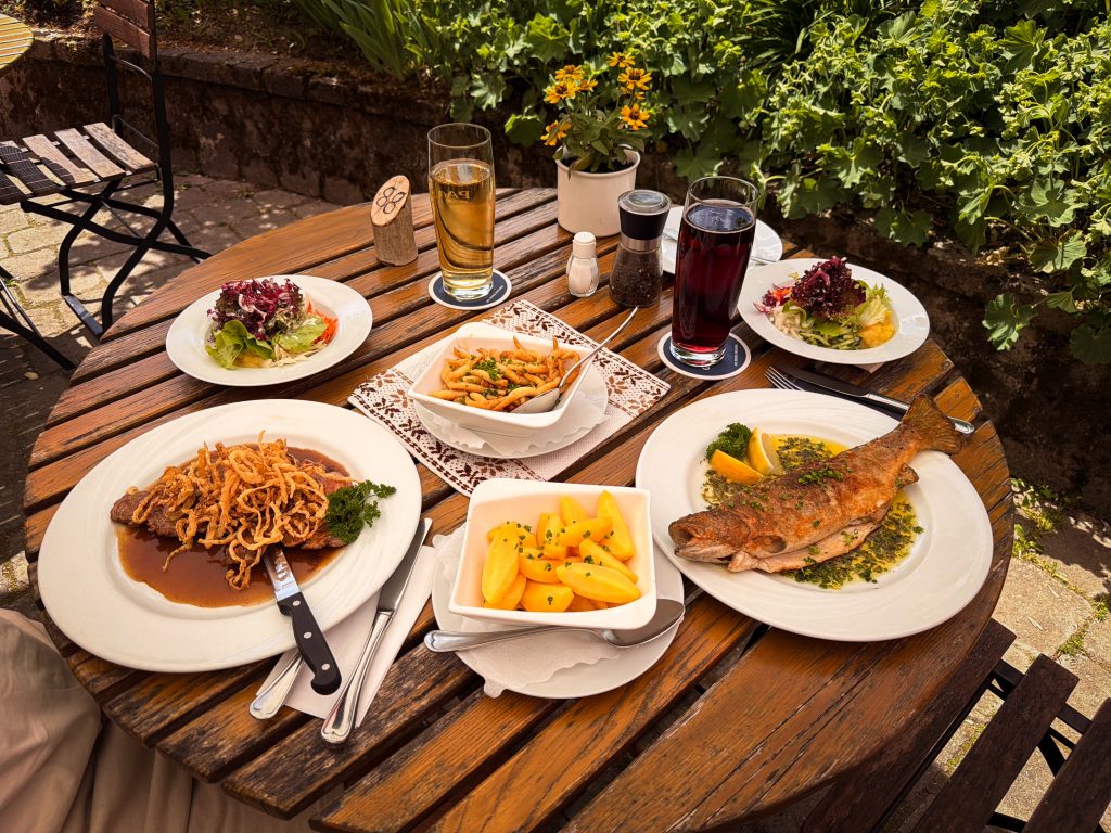
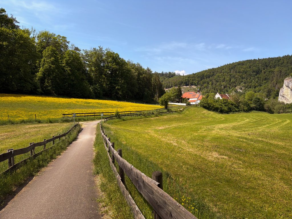
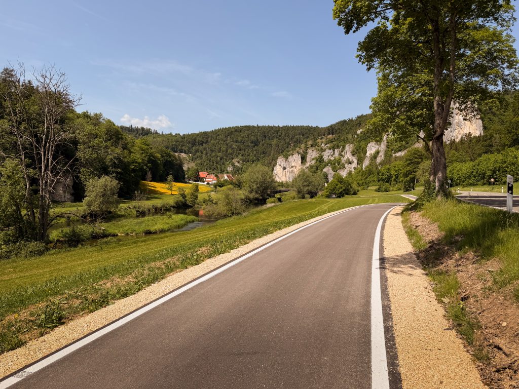
After lunch, we swapped our paddles for bikes and followed the Danube Cycle Path from Thiergarten back towards Sigmaringen. For much of the route, the river stayed close beside us, with forested slopes and pale limestone cliffs rising on either side. After seeing the valley slowly from the water that morning, covering the same landscape by bike felt completely different – and considerably faster.

We spent our final night back in the Zollernalb, at a campsite beautifully tucked away in nature. As the sun dropped behind the surrounding fields and the campsite slowly settled into evening, we sat outside the van for one last time and watched the landscape disappear into dusk. After three busy days of hiking, paddling, cycling and exploring, there was nowhere else we needed to be.
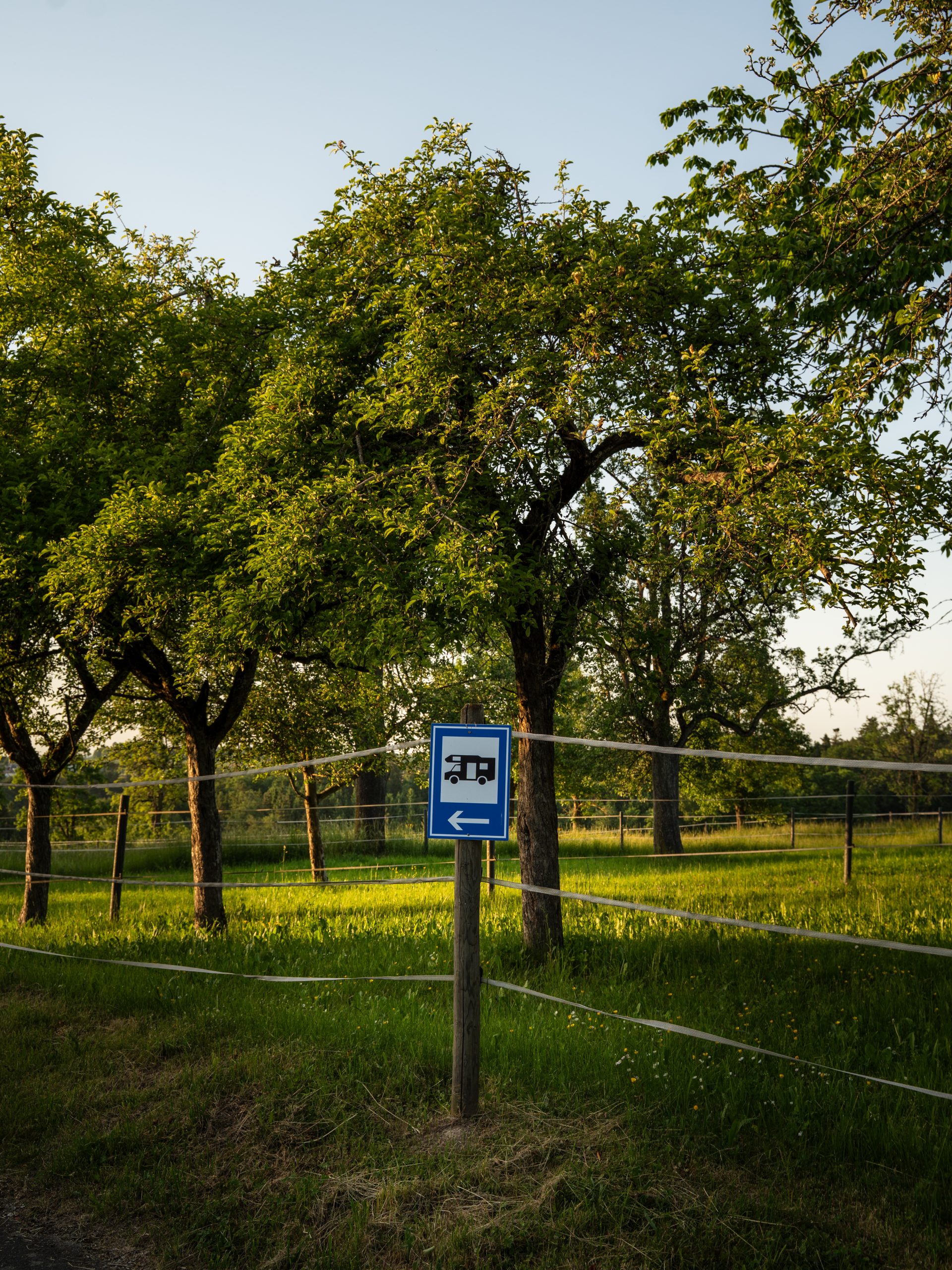
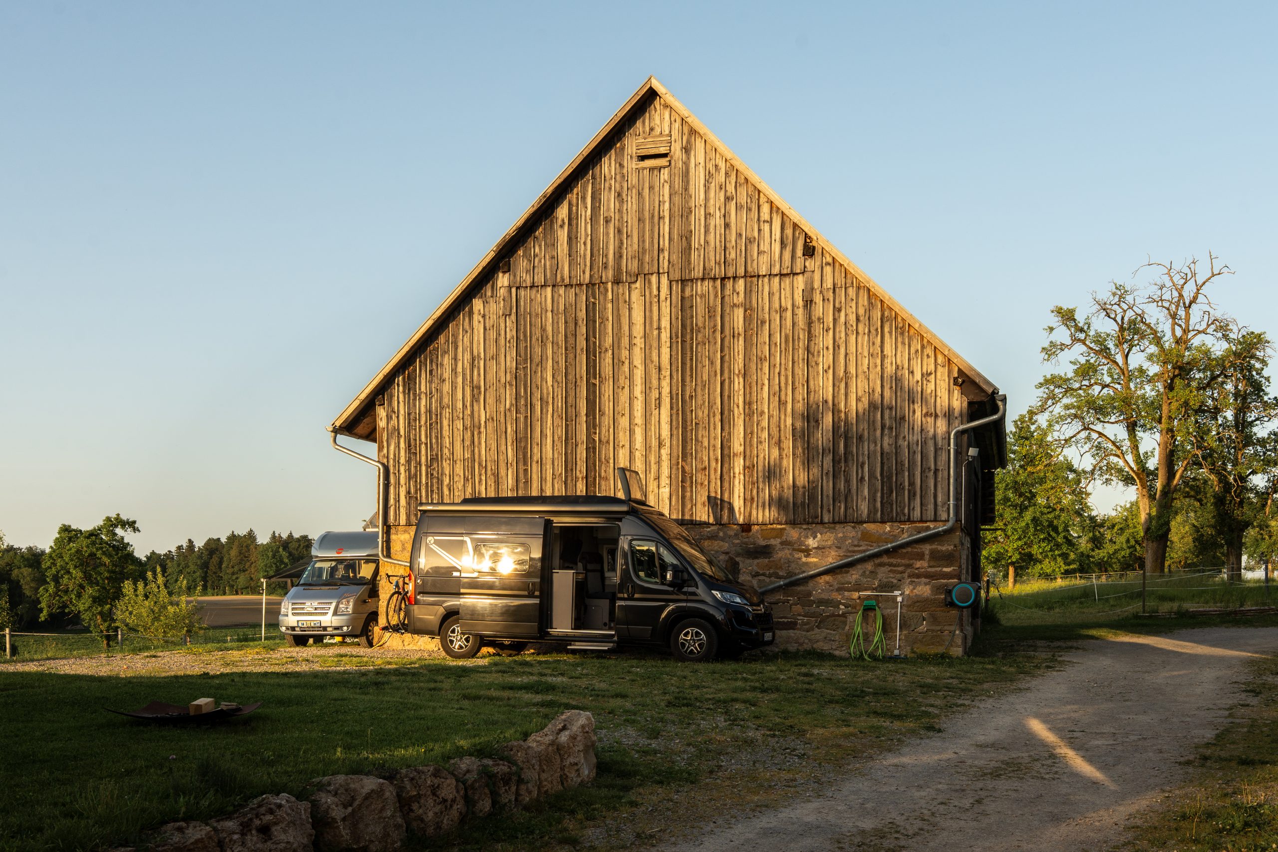
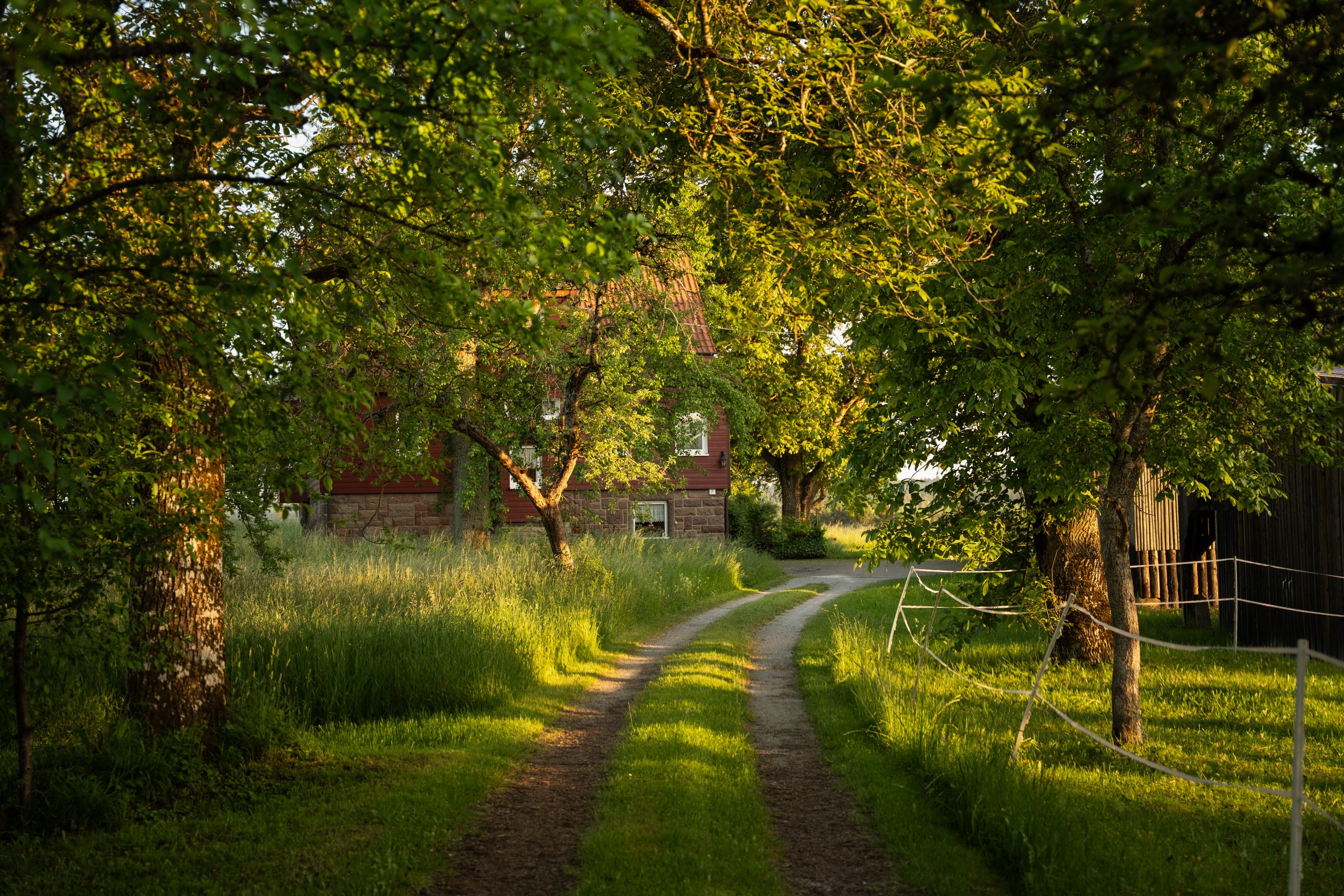
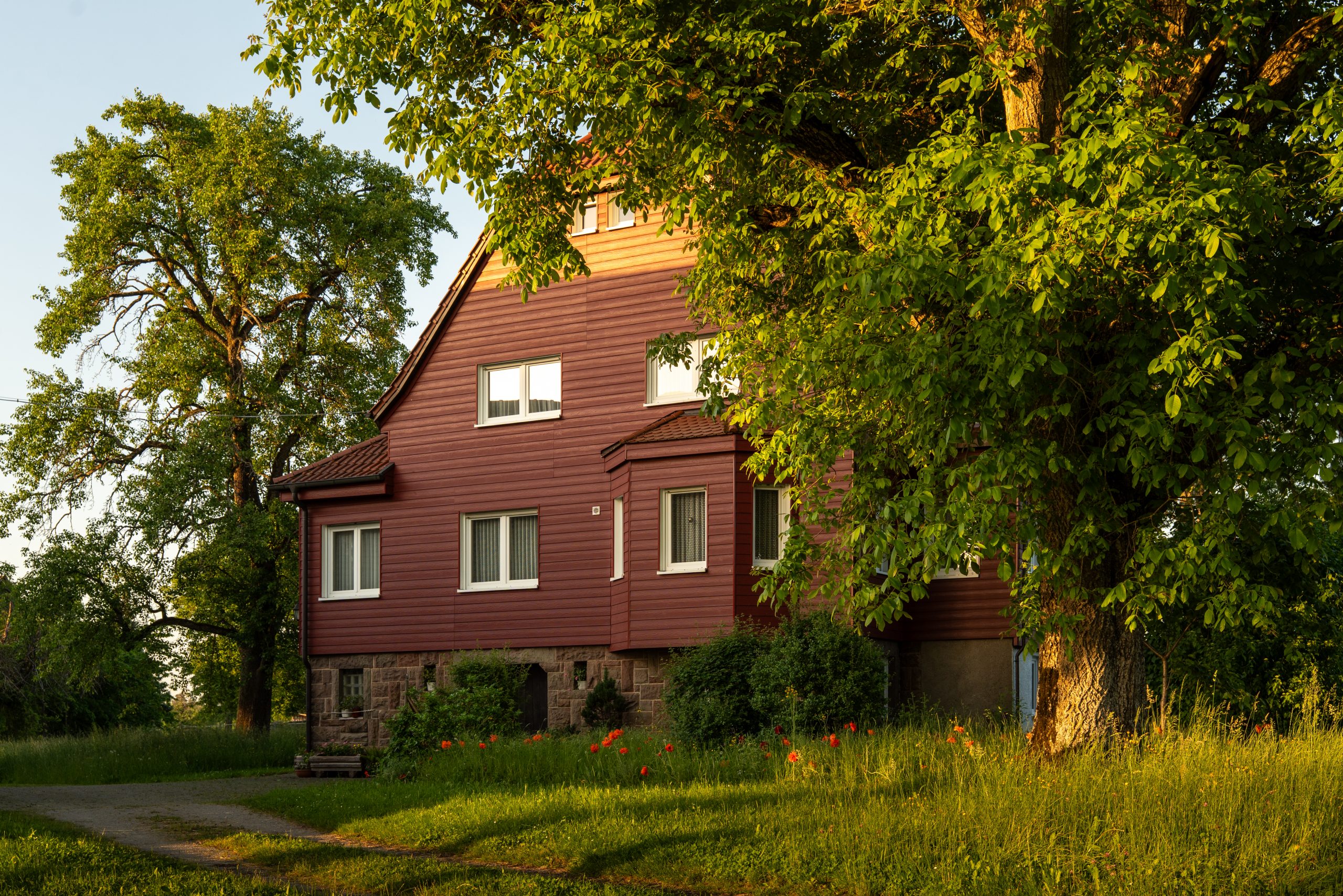
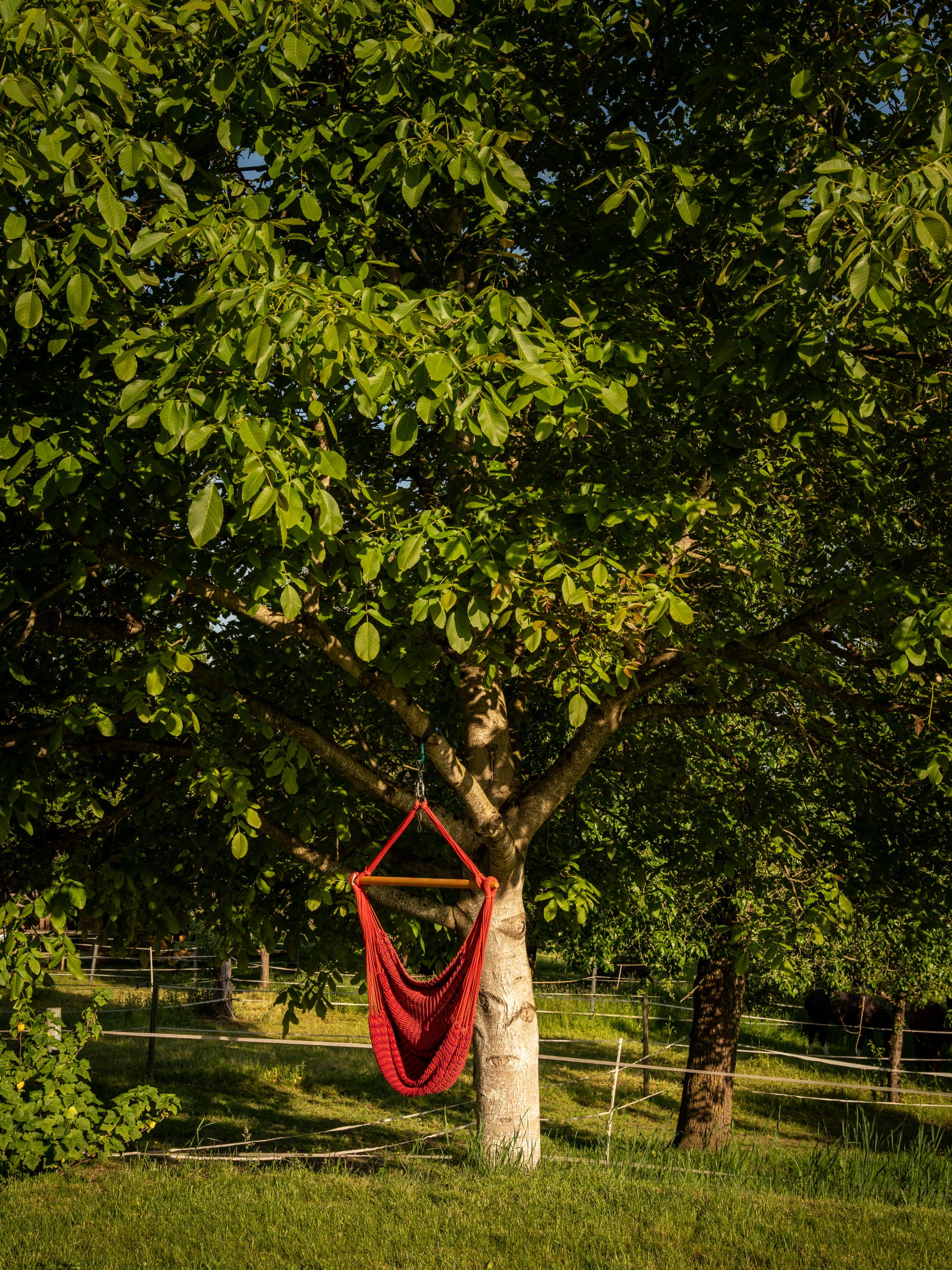
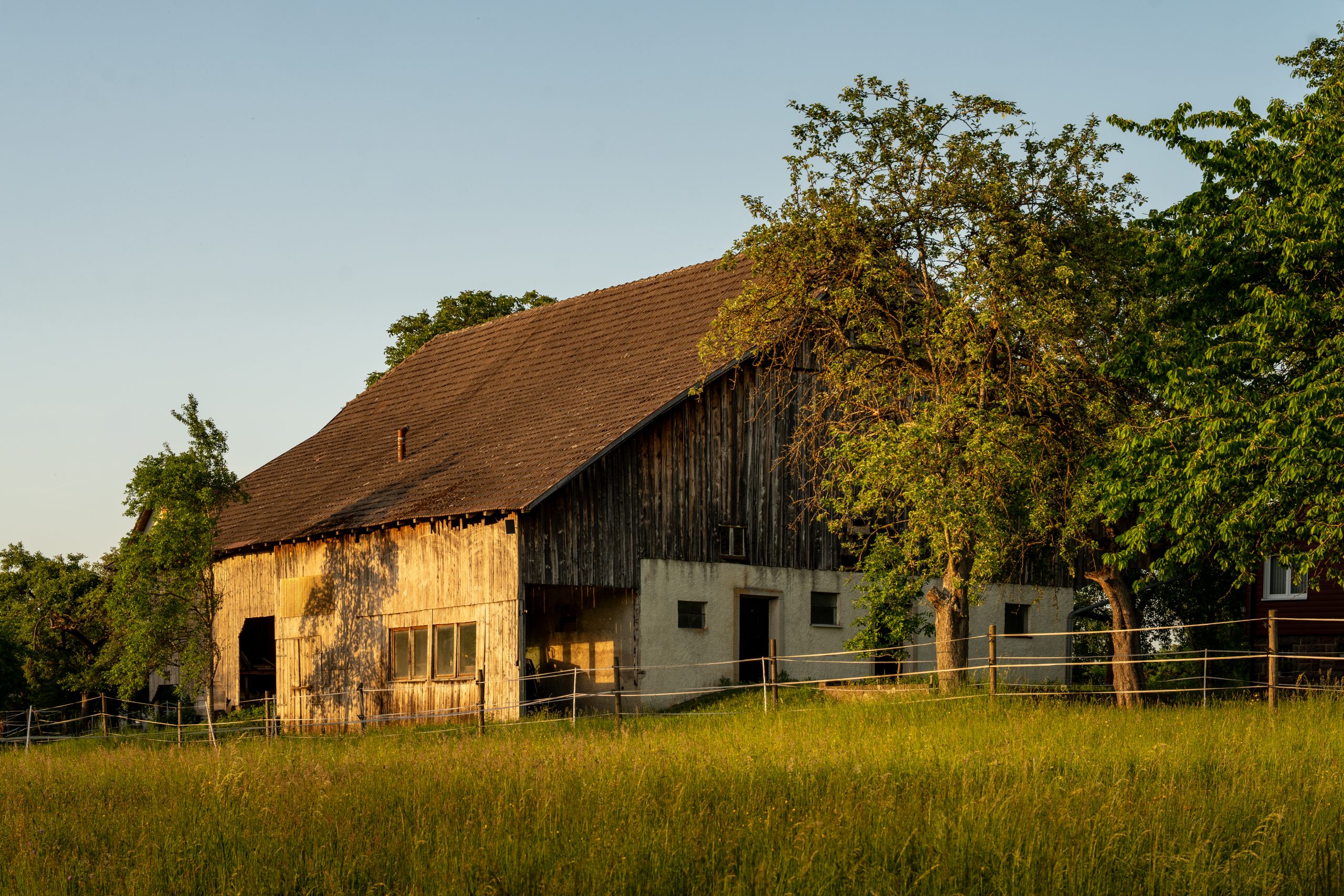
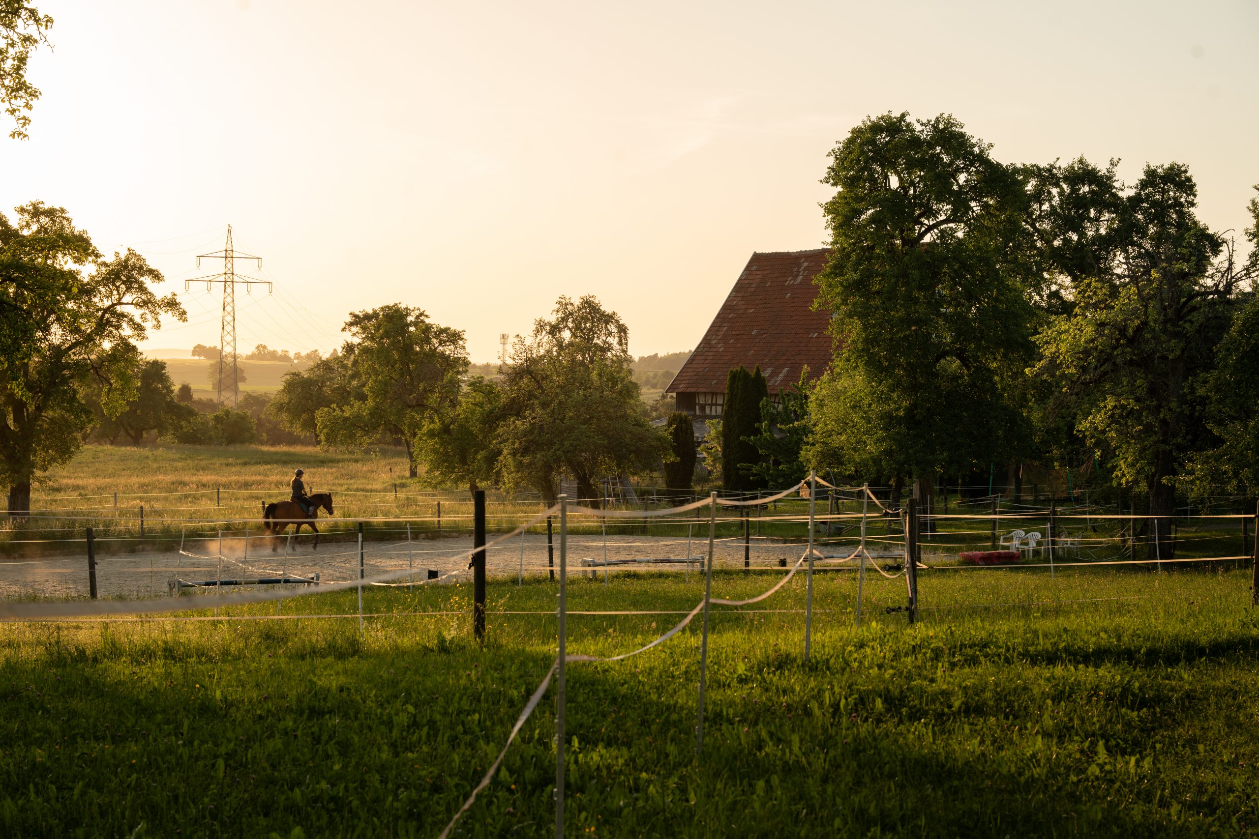
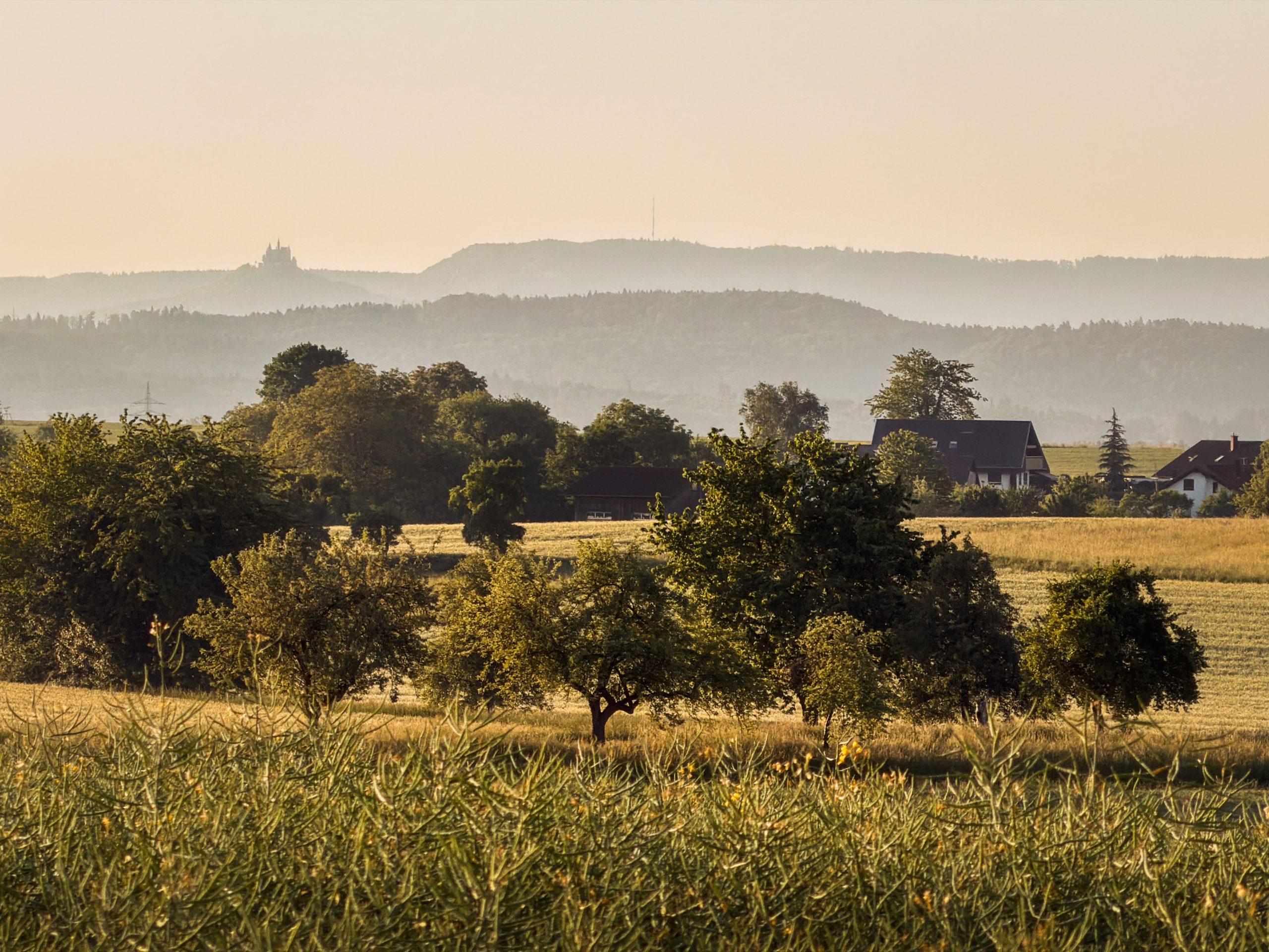
| Stellplatz an der Pferdeweide | |
|---|---|
| Location | Henstetten, behind house 8, 72401 Haigerloch, Germany |
| Price | 18€/night + 8€ pP (5€ for children) |
| Facilities | Discharge for chemical toilet, power connection, sewer connection, water connection, bathrooms |
| Website | www.stellplatz-an-der-pferdeweide.de |
Is a Van Tour in the Swabian Alb worth it?
Short answer: absolutely. In just three days, we woke beside a reservoir, hiked across the Zollernalb, wandered through a princely castle, paddled beneath the limestone cliffs of the Upper Danube Valley and cycled back along the river – all without ever spending hours on the road between stops.
That is perhaps what makes the Swabian Alb so well suited to travelling by campervan: its landscapes and experiences change constantly, yet everything remains close enough to explore slowly. For anyone looking for a road trip that combines nature, outdoor adventure, history and quiet evenings surrounded by countryside, the Swabian Alb is well worth exploring by campervan.
Note: This van tour was undertaken as part of the “Südenscout”-project of the Tourismusverband Baden-Württemberg and sponsored by the tourism boards of Zollernalb, Sigmaringen and Donaubergland.